
I rode a revised version of the Echo-Titus Circuit over 3 days, from December 15-17. This route is best for intermediate to advanced bikepackers.
TL;DR: It's a beautiful route. The miles are long and the daylight is short in the winter (the best time of year to ride this), so start riding at sunrise and bring lights. A mountain bike is best for this route and mostly meets bikepacking.com's 5/10 difficulty rating, but those who enjoy physical punishment and going slow can ride a gravel bike and expect a difficulty of 8/10.
Here's everything else you need to know.
What’s the route like?
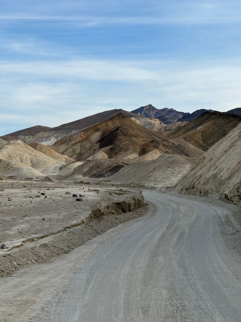
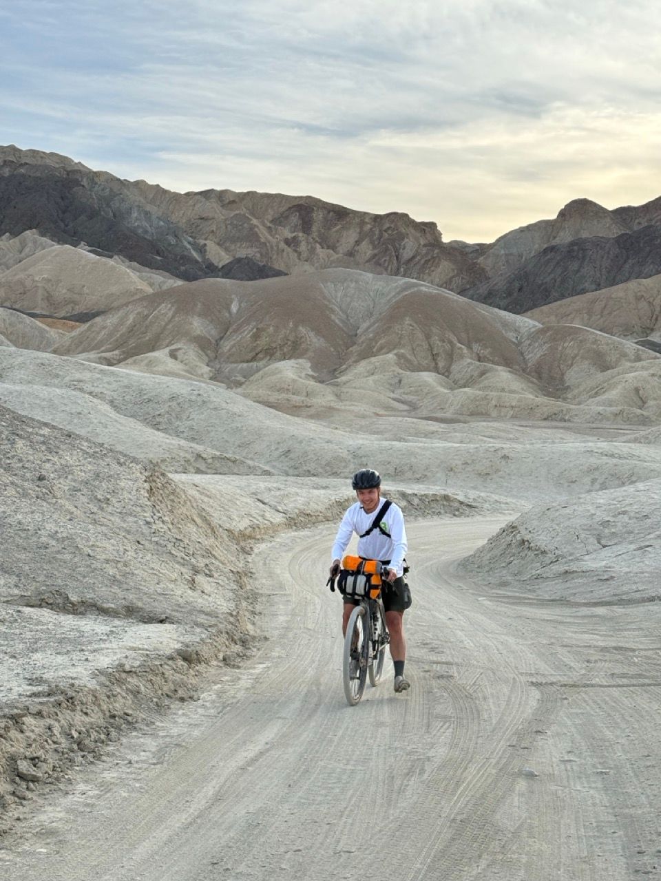
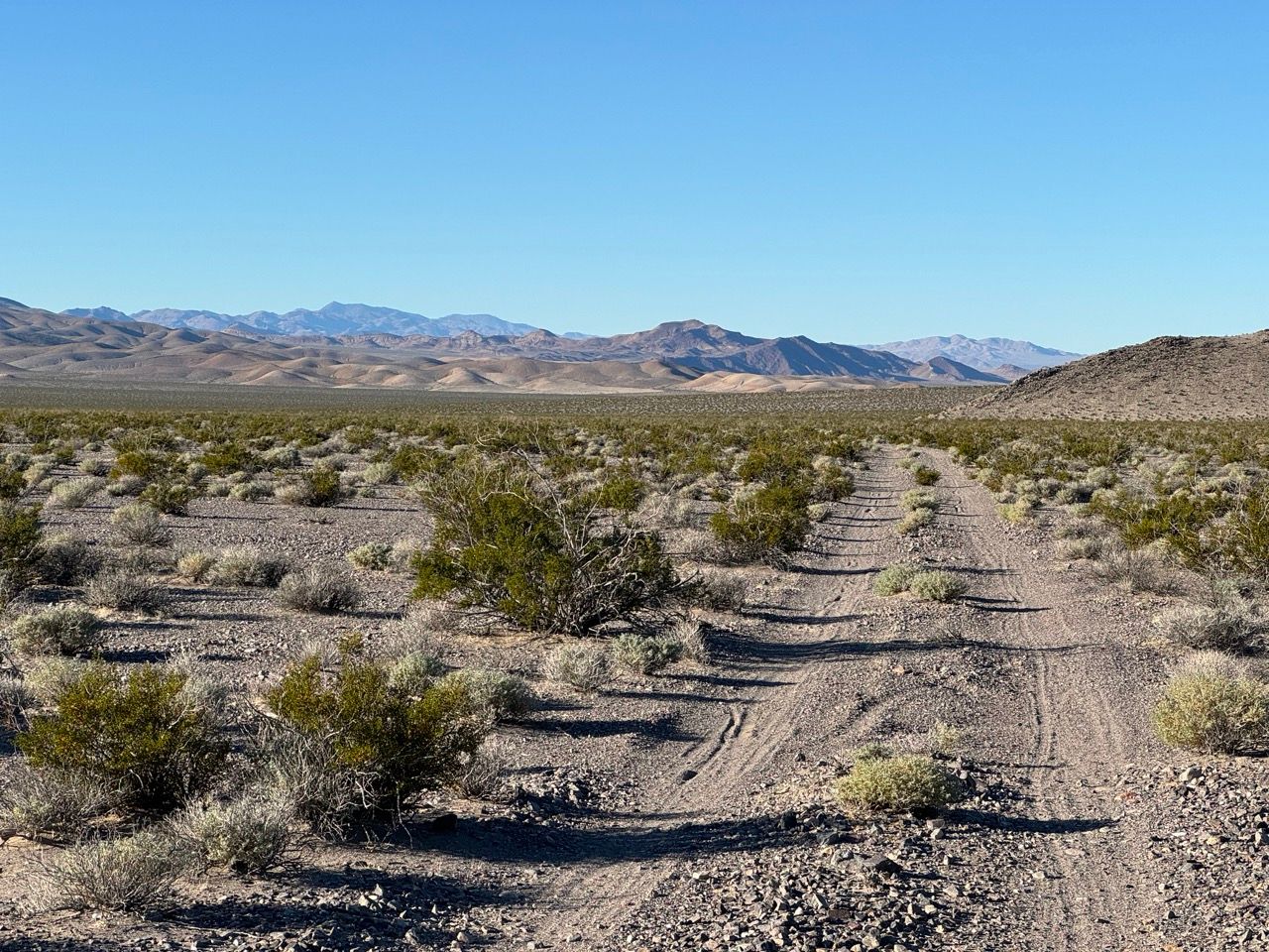
Mostly 4x4 doubletrack with frequent sections of deep gravel, chunky rock gardens, and long 8+ mile climbs and descents. A bit of buttery smooth gravel and asphalt roads at the beginning and end. It's 99% rideable by intermediates on MTBs.
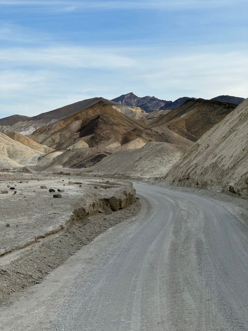


Like most bikepacking trips, expect to go on an emotional rollercoaster: sweating up a rocky road for hours, then hooting and hollering on an endless descent.
What type of bike is best?
Given the rocky trail and loose gravel, you'll be happiest on a mountain bike with big (yet ideally fast-rolling) tires—preferably 2.3" or bigger. This will give you more float and traction on the loose stuff.
Full-suspension would be my recommendation to maximize comfort and traction. It'd also be okay on a hardtail or rigid MTB—probably just a bit slower going down and less comfy.
It's also possible to get away with a mountainous gravel bike with low gearing and 47mm+ tires, but be prepared for it to be slow, uncomfortable, and physically demanding.
I rode my full-sus Giant Stance with 29 x 2.35" Thunder Burt tires:
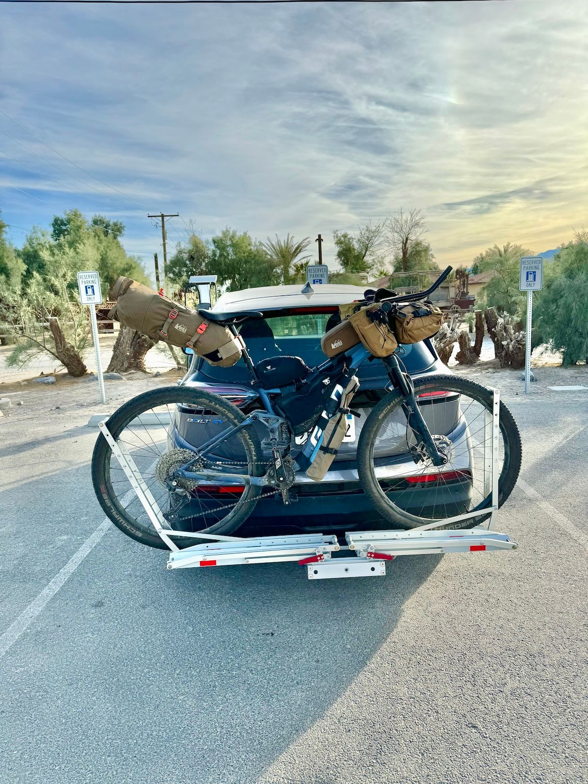
As per usual, I added Redshift aero bars to my MTB for this ride. It really helped increase my speed on the longer flatter sections, and the alternative body position is nice to have.
Best time of year
November, December, January, and February have the best temperatures for riding. Here's the monthly temperature averages for Furnace Creek in Death Valley:
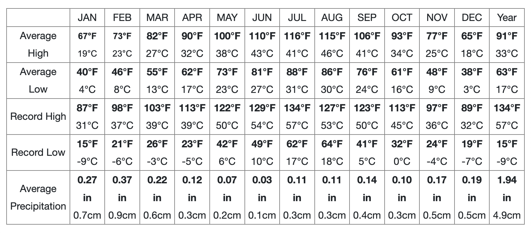
Keep in mind you'll go from sea level (Furnace Creek) all the way up to nearly 5k ft elevation. The first camping spot is around 2,500 ft and the second one is around 4,500 ft.
Temperature decreases by about 5ºF per 1,000 ft of elevation, so expect highs in the 50s in the mountains, with lows in the 30s.
As always, plan and pack for variable mountain weather conditions.
The route
Echo-Daylight loop
This route is based on Bikepacking.com's Echo-Titus Circuit.
Since Titus Canyon is closed to bikes and cars until at least January 2025, you can return via the scenic and very low-traffic Daylight Pass road. I recommend this route for most people, especially if you're aiming to complete the ride in 3 days.
Echo-Chloride loop
If you're extra ambitious, or doing it over 4 days, you can detour onto the dirt Chloride Cliffs Rd for the final climb back to Death Valley, instead of climbing up the paved Daylight Pass:
I have not ridden this myself and I'm unsure what the conditions are like. I'd expect similar rough roads as Echo Canyon. Please report back if you do this! I'm sure it's scenic.
Trip report for Echo-Daylight loop
Our skill level & pace
We're all beginner/intermediate gravel racers with lots of experience on steep Bay Area fire roads, but hadn't done much endurance training in the month or two prior. Most of us just had overnight bikepacking experience (myself a bit more). It was one person’s first bikepacking trip ever.
Our bikes
As mentioned, I was on a full-suspension Giant Stance with 29 x 2.35” tires. The rest of the group were on gravel bikes with 700 x 47-50mm tires, with one poor soul on 700 x 42mm. Running as low PSI as possible was critical for riding through loose gravel, sand, and rock gardens.
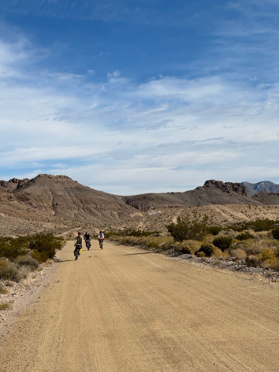
Day 1 - Furnace Creek to 20 Mule Team Canyon & Echo Canyon
We got a late start from Ridgecrest after needing to fix a bike at a local bike shop, which didn’t open until 9:30am. Arriving in Death Valley around 12:30, we decided to get back time by driving 10 miles closer to the first campsite, starting at the Furnace Creek visitor center instead of Beatty Rd.
After taking too long to pack up our bikes, we didn’t hit the road until 3pm. With sunset around 4:40pm, we had to sprint up the highway.
We were able to savor the fantastic 20 Mule Team Canyon road in golden hour, though – it’s a highlight of the route and not to be missed.
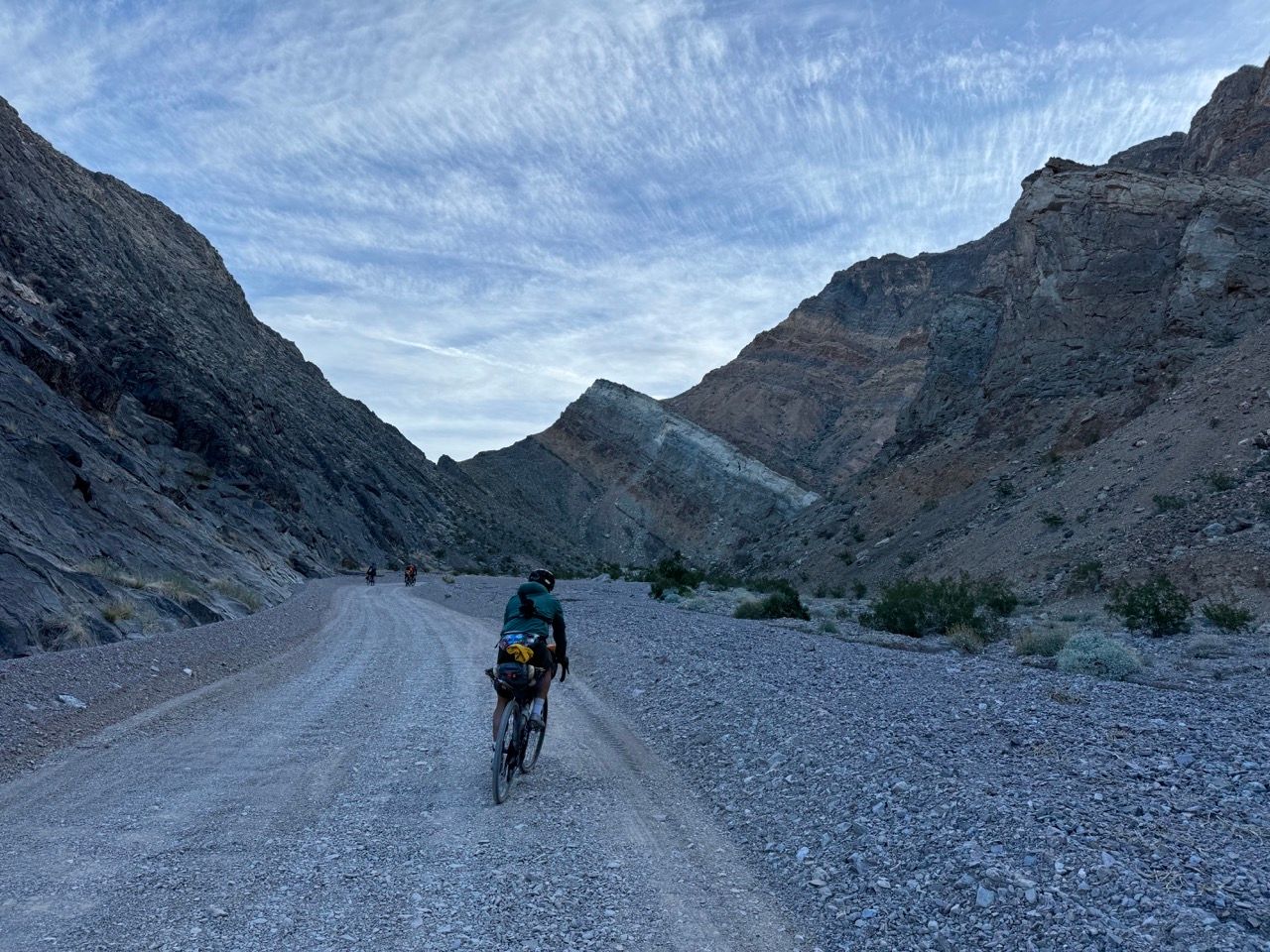
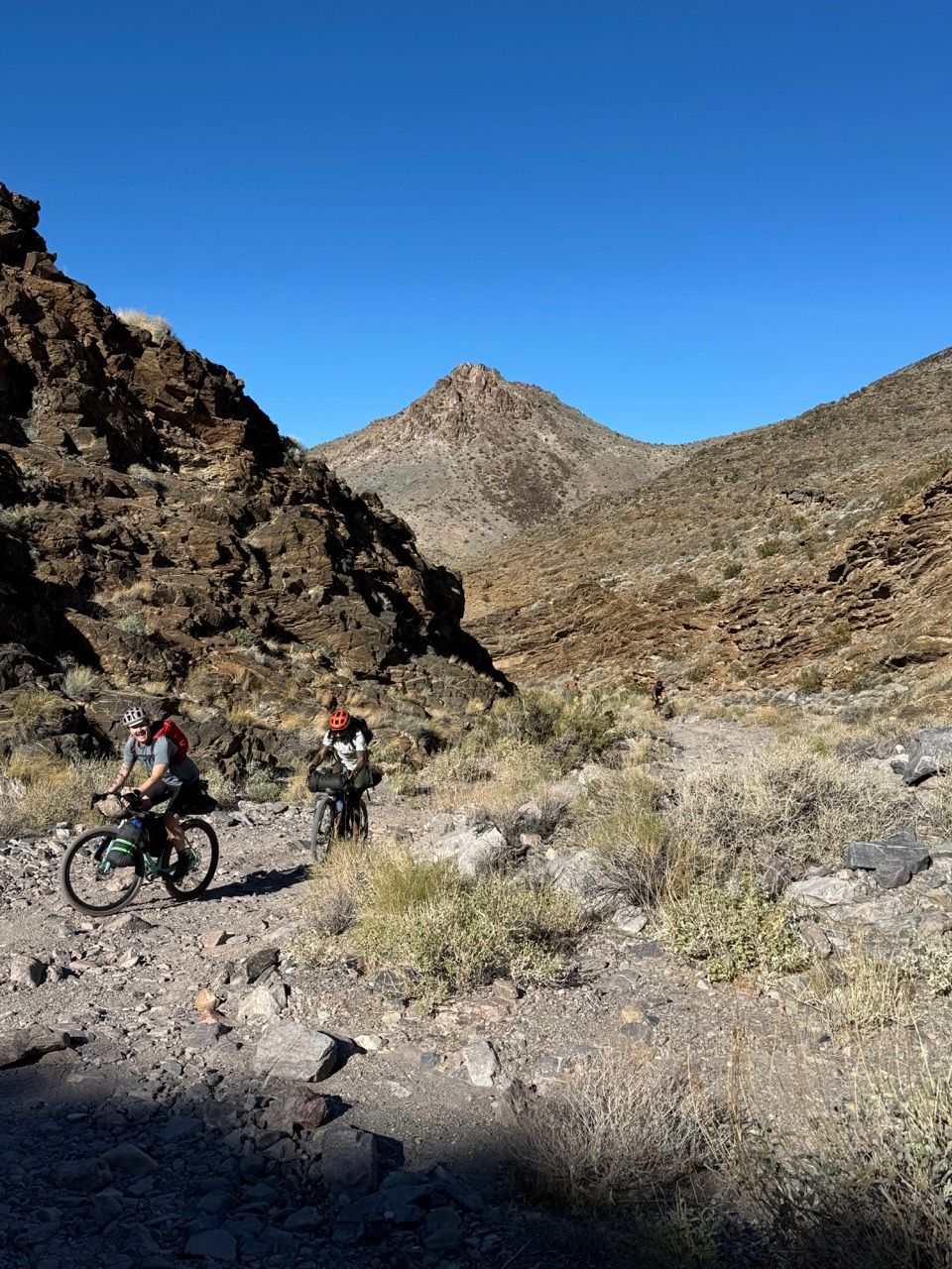
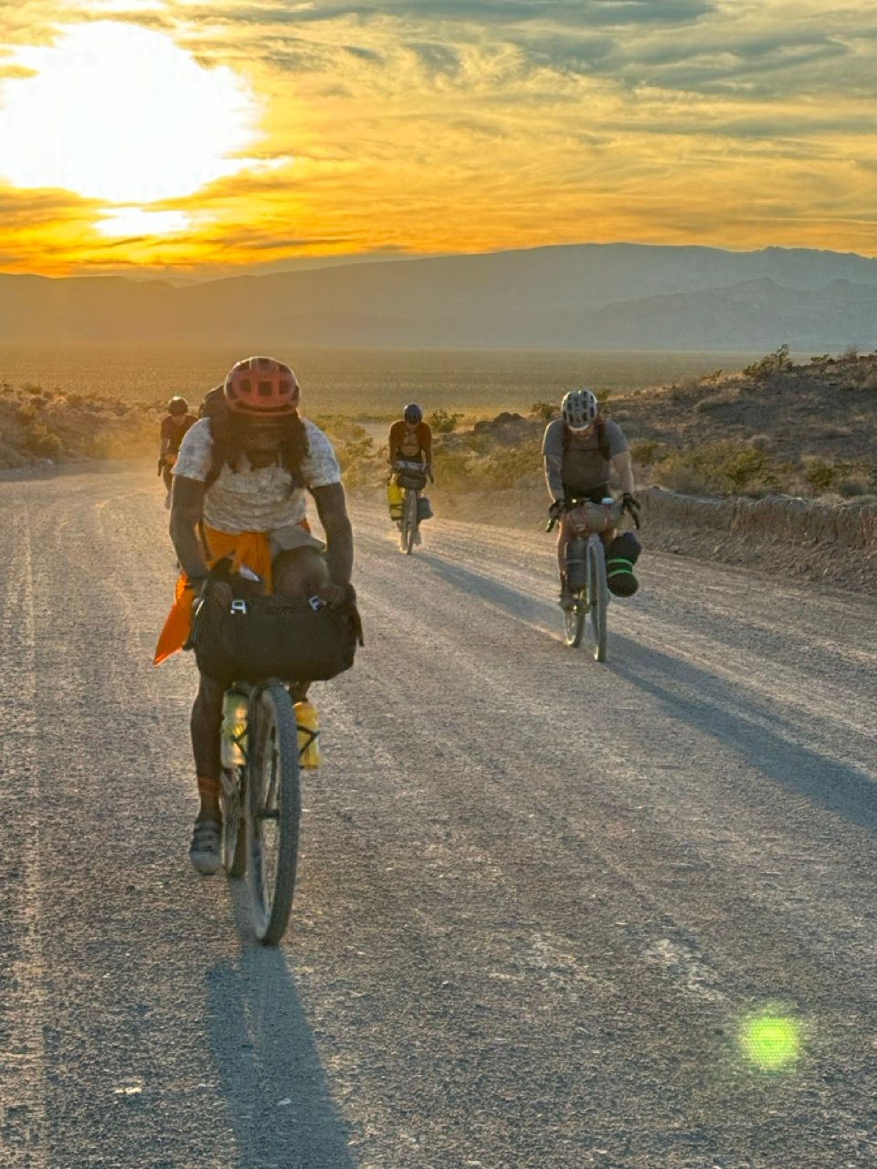
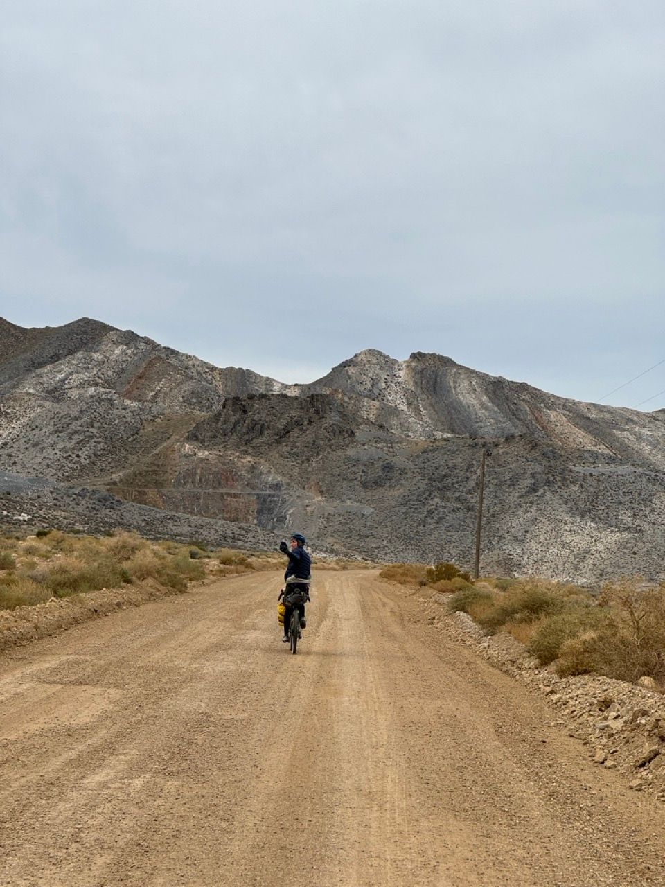
We then looped back to Echo Canyon via a long scenic descent on the paved main road. The sun was just starting to set as we started the dirt climb.
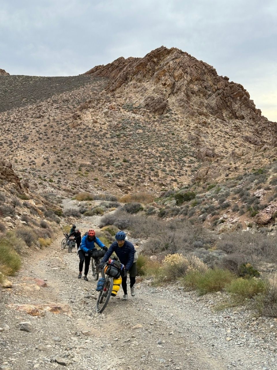
Almost immediately, the benefits of riding a MTB became apparent. I had much more float than my friends on gravel bikes. I still had to semi-carefully pick lines up the road, but didn’t experience any soul-crushingly-deep gravel or sand that sapped my energy or brought me to a stop.
It’s a long climb regardless, and we were in the dark for the last couple miles. I regret not being able to see more of the canyon in the daylight.
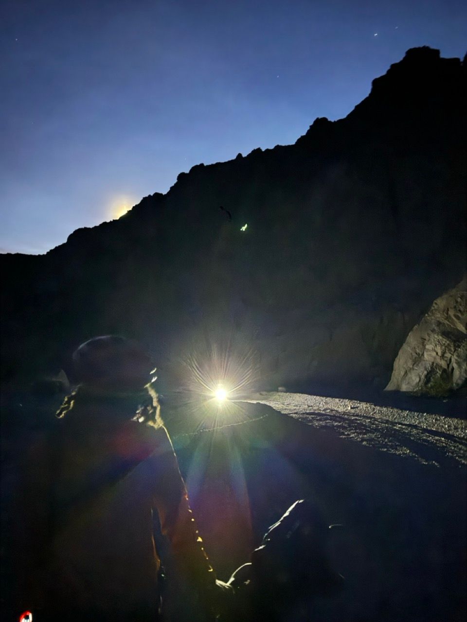
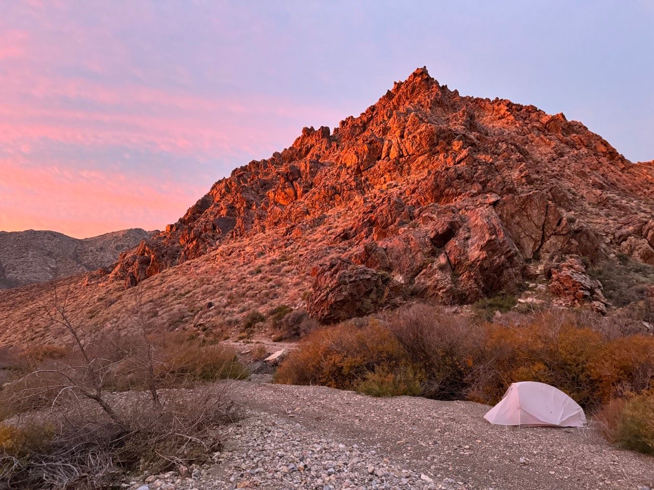
We made it to campsite 8 and called it quits. We found the best place for tents was on the softer sandy campsite driveway itself, and it was thankfully a mild night — I was warm with a 40ºF bag, baselayers, and r = 4.5 pad.
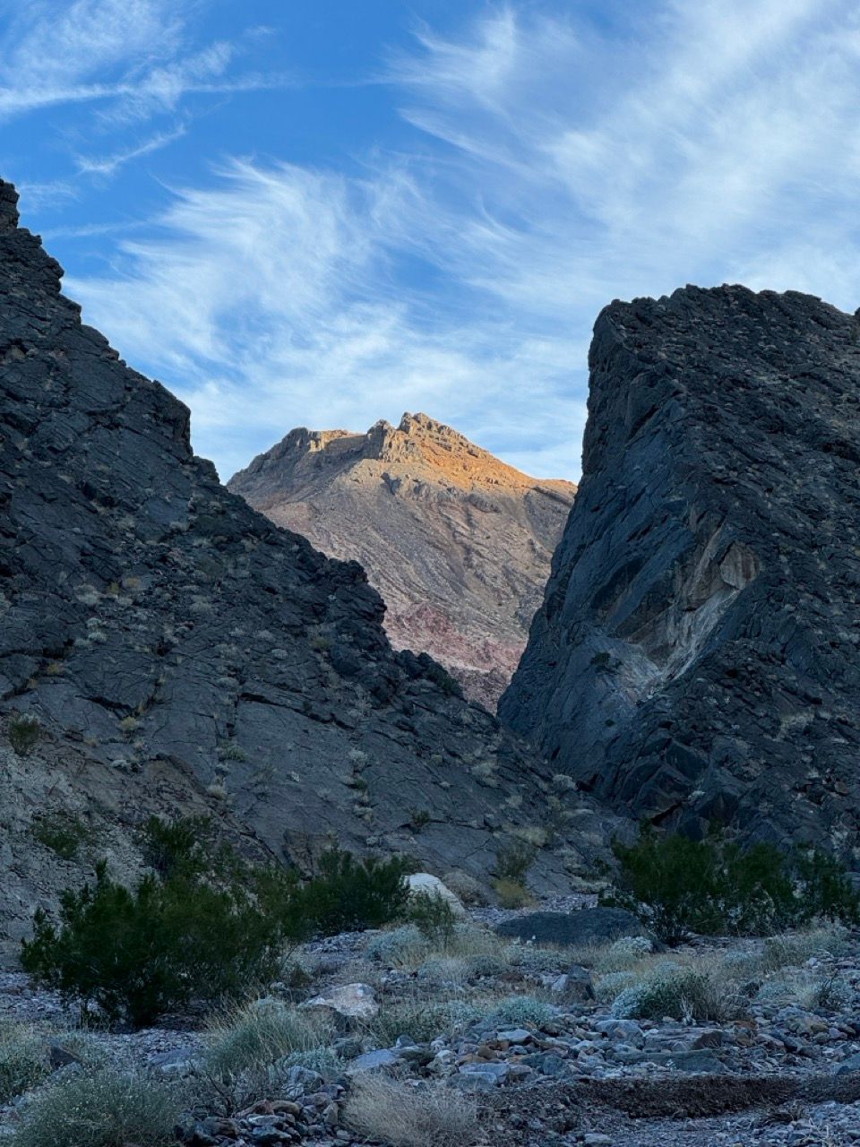
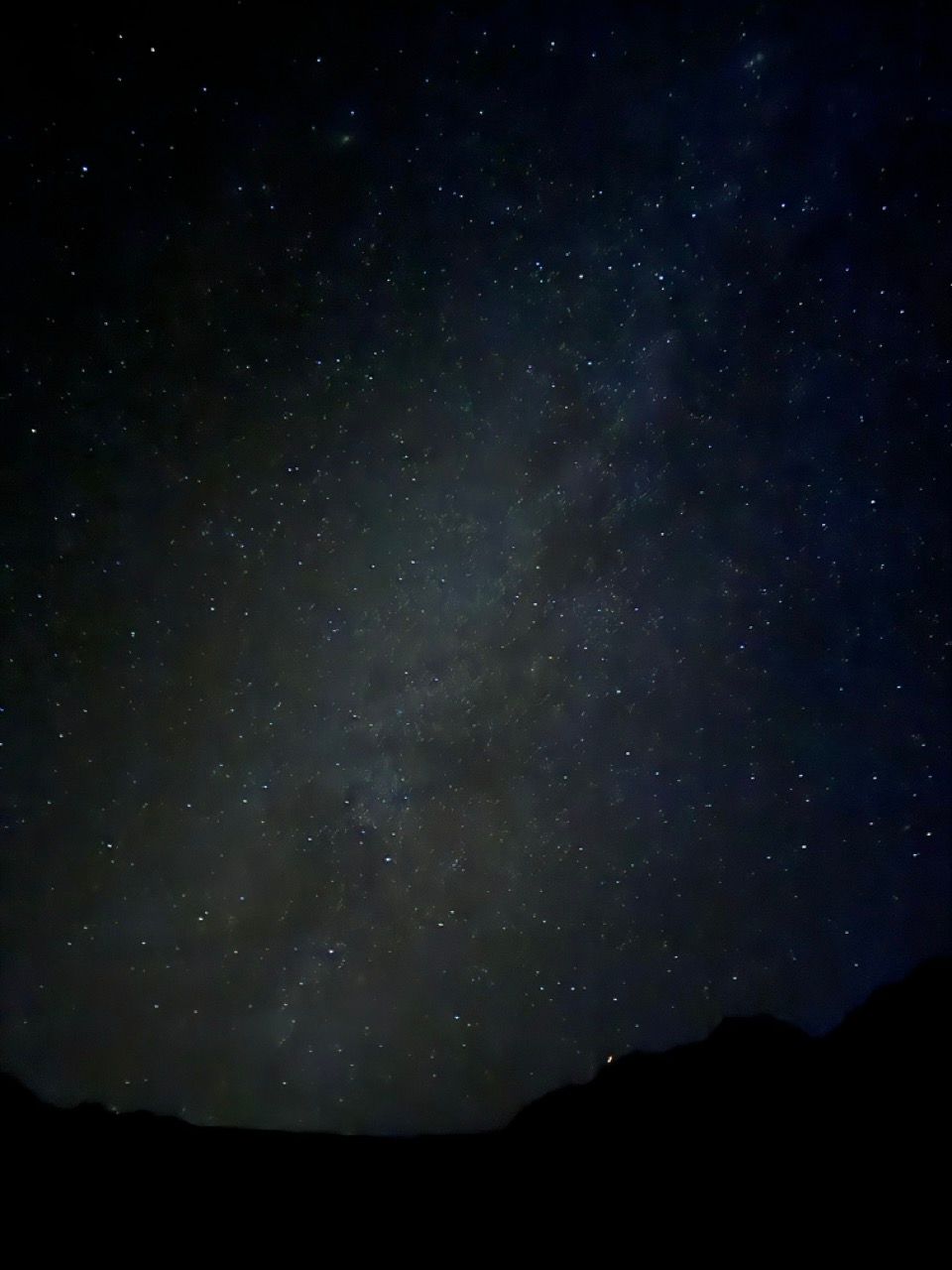
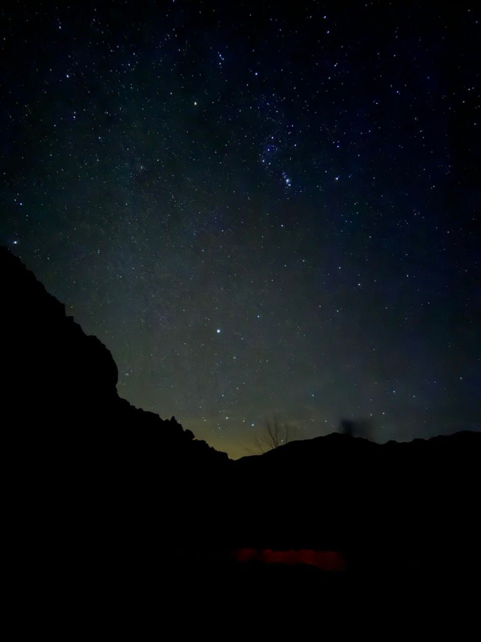
The stars at night do indeed pop off, as advertised!
Day 2 - Echo Canyon to Tarantula Canyon
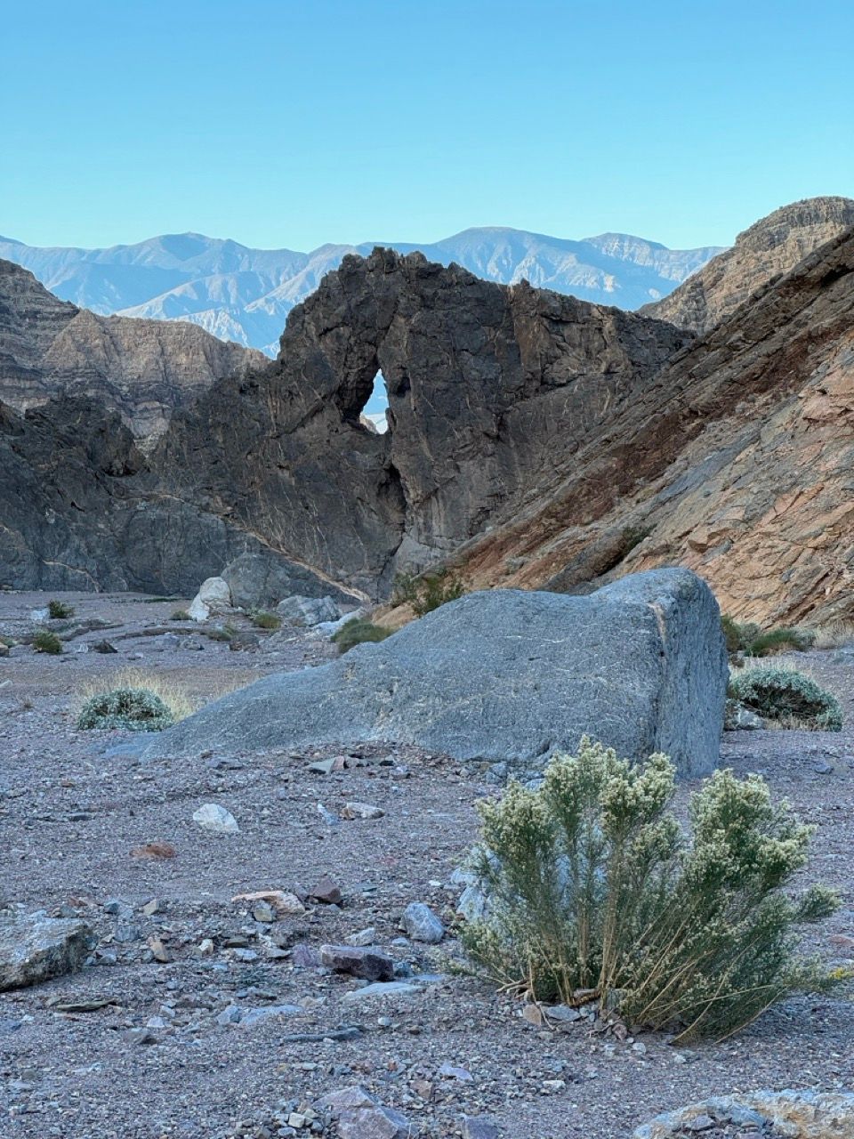
Campsite 8 is right next to the Eye of the Needle arch, which we didn’t realize until morning.
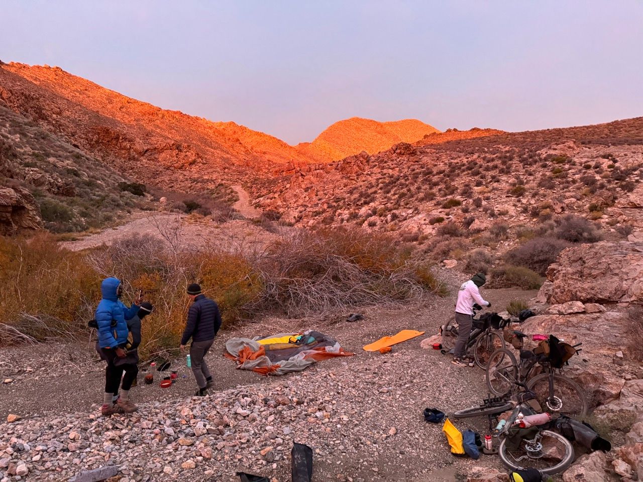
Unfortunately, despite rising from our tents at 6am, we didn’t depart until 7:50am. Lesson: breakfast + breaking down camp always takes a little longer than you think, especially with a larger group.
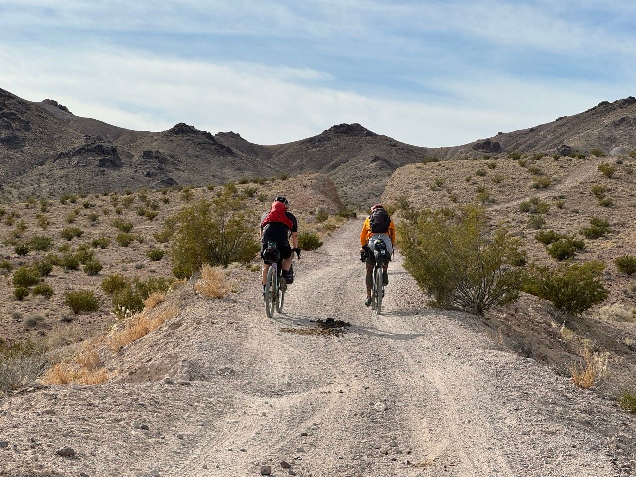
We made slow but steady progress up the canyon, with the gravel bikes occasionally getting bogged down, but nothing quite as bad as we had anticipated.
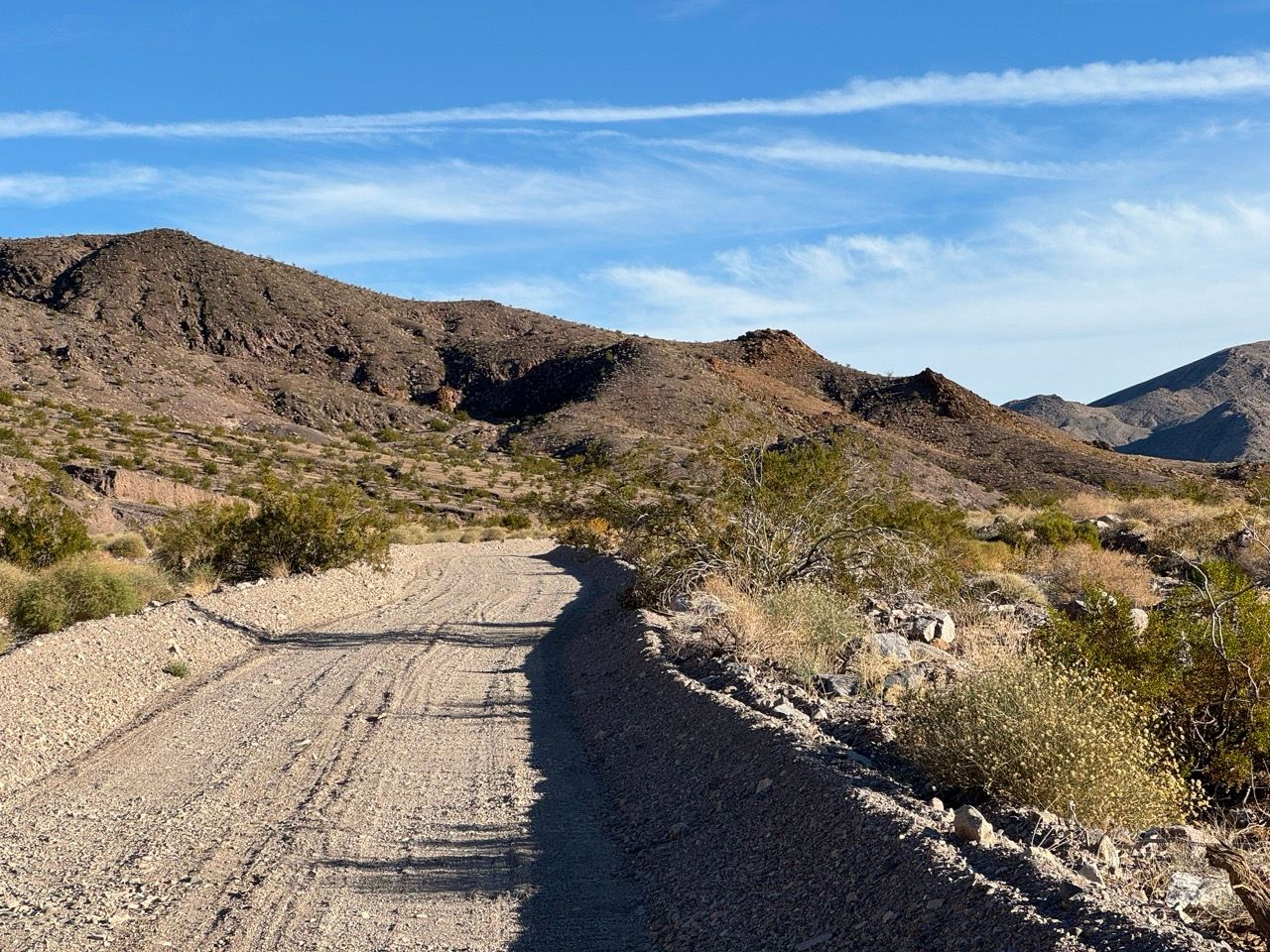
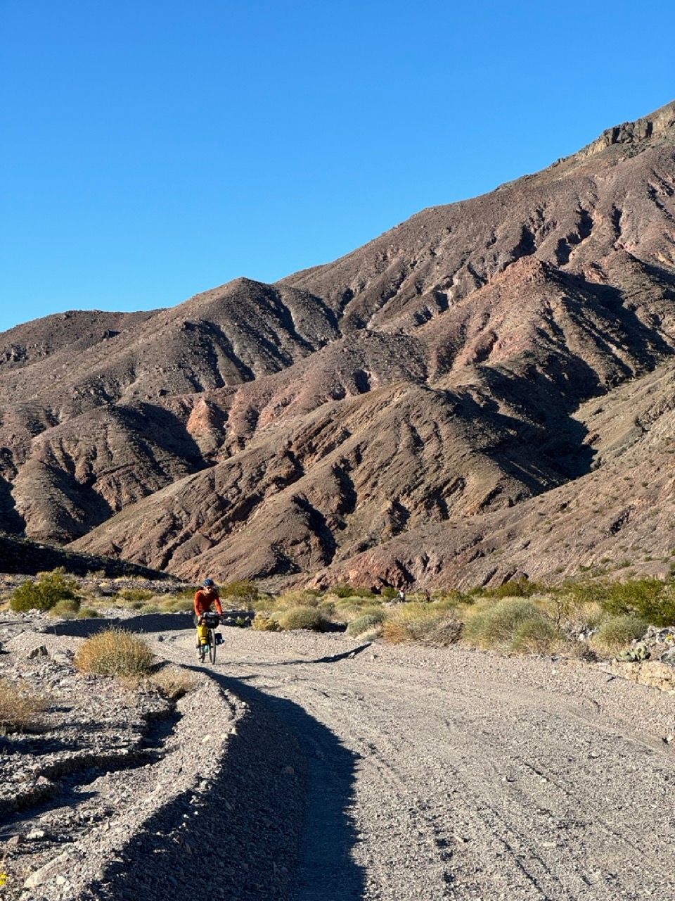
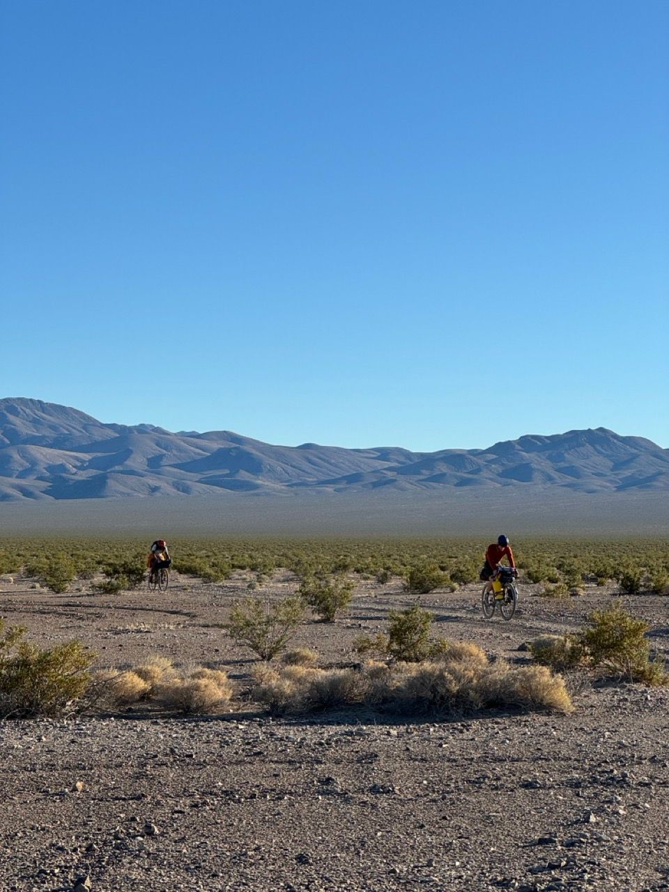
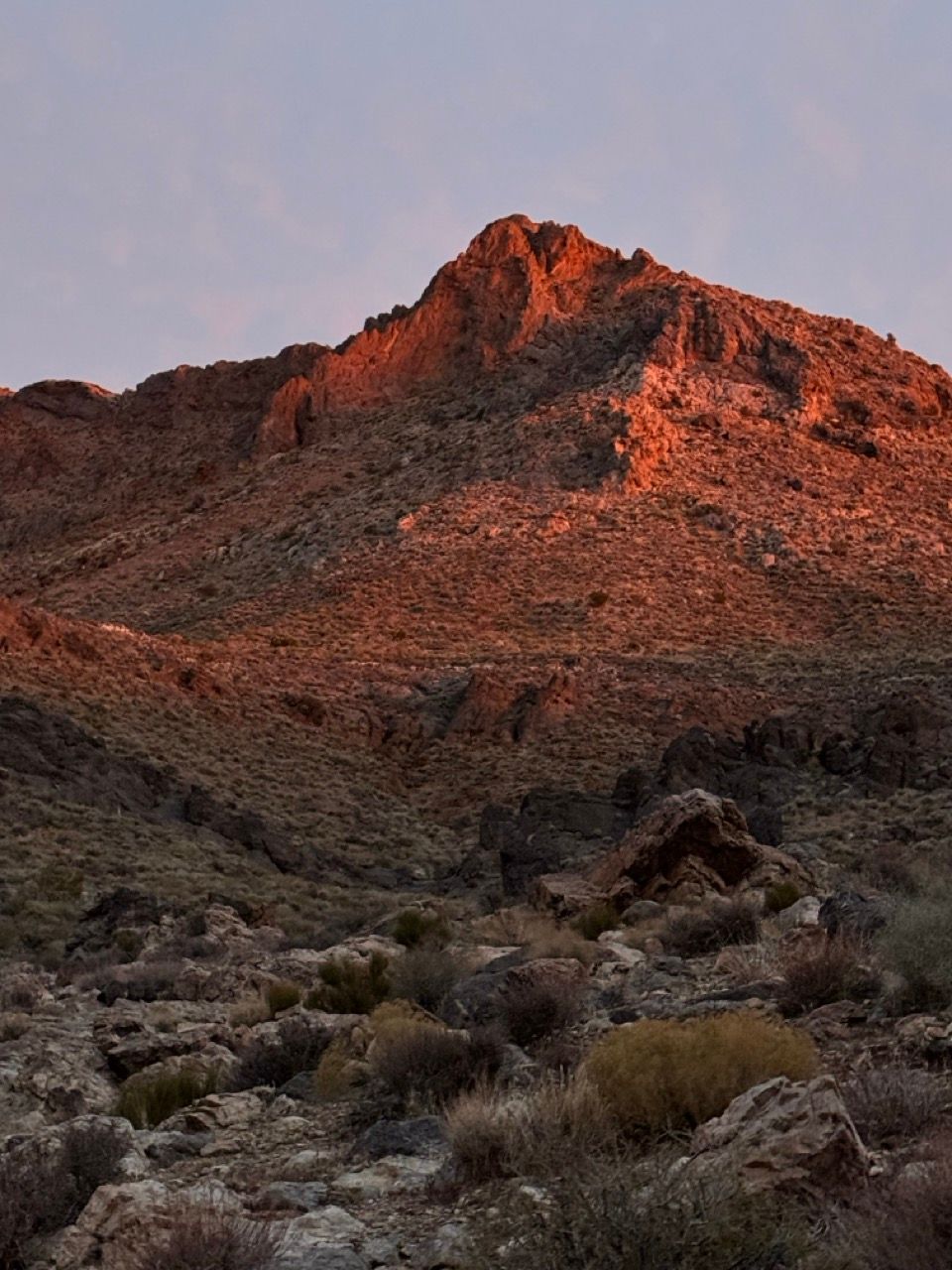
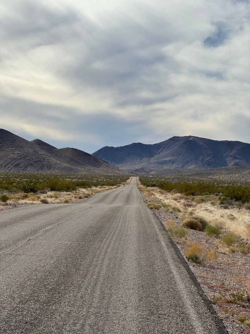
Within a few miles, the canyon opened up into a desolate mountain landscape and the road firmed up into a very rocky 4x4 doubletrack. The road’s grade was generally quite manageable as it weaved its way through the mountains.
We unfortunately lost almost an hour due to a mechanical and had to skip the Inyo Mine for time, so I can’t comment on whether the out-and-back there is worth it. Past commentators have enjoyed it.
We continued climbing, pausing for water in shady spots. Even temps in the 50s start feeling hot when you’re climbing for 8+ miles in the desert sun, so make sure you have versatile layers.
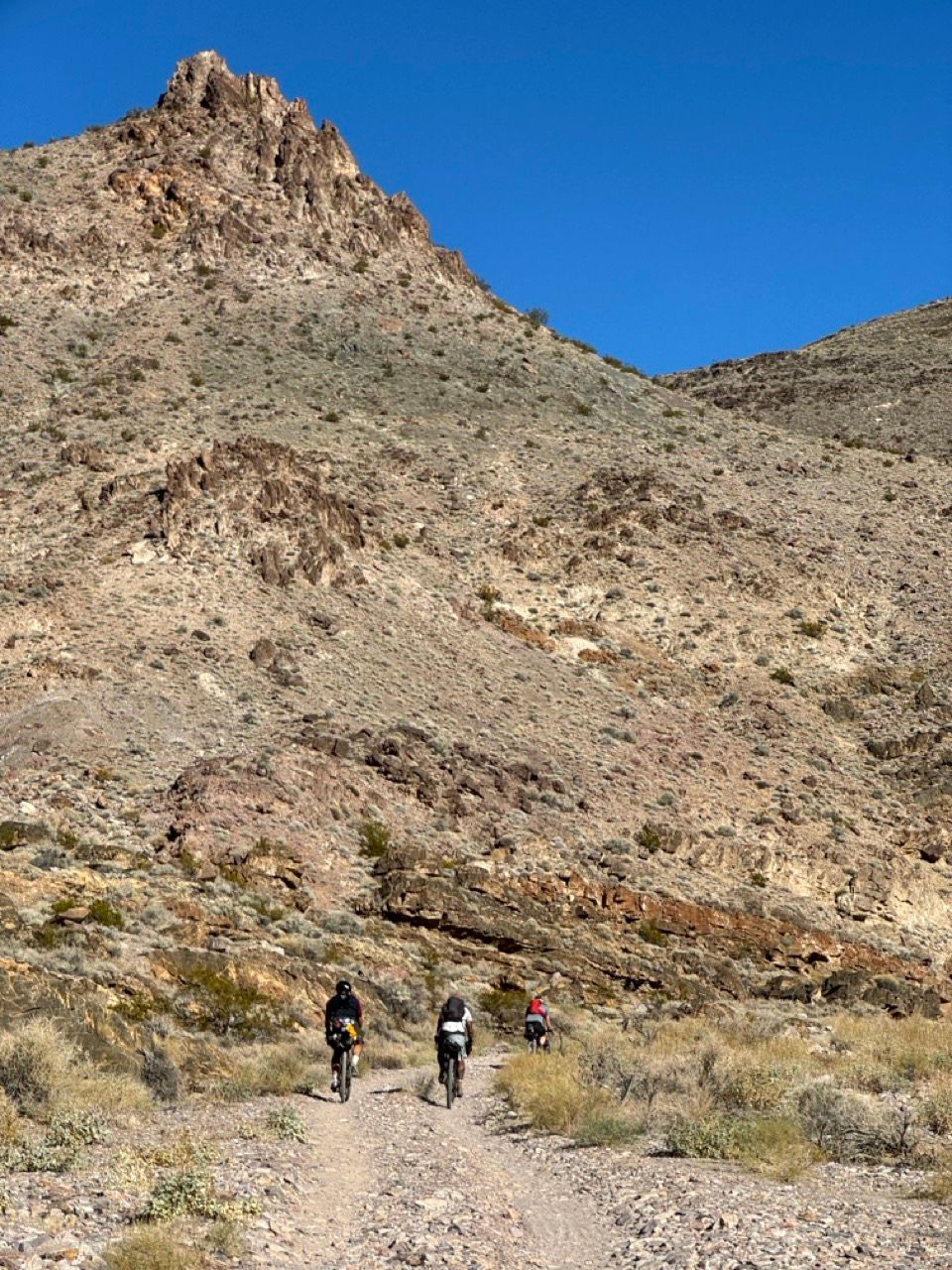
We passed a couple of brief hike-a-bike spots, and as we ascended towards the pass, hike-a-biked one more steeper segment (marked on the original route) that would be rideable with a big cassette and fresh legs, but ultimately not worth the effort on a long day.
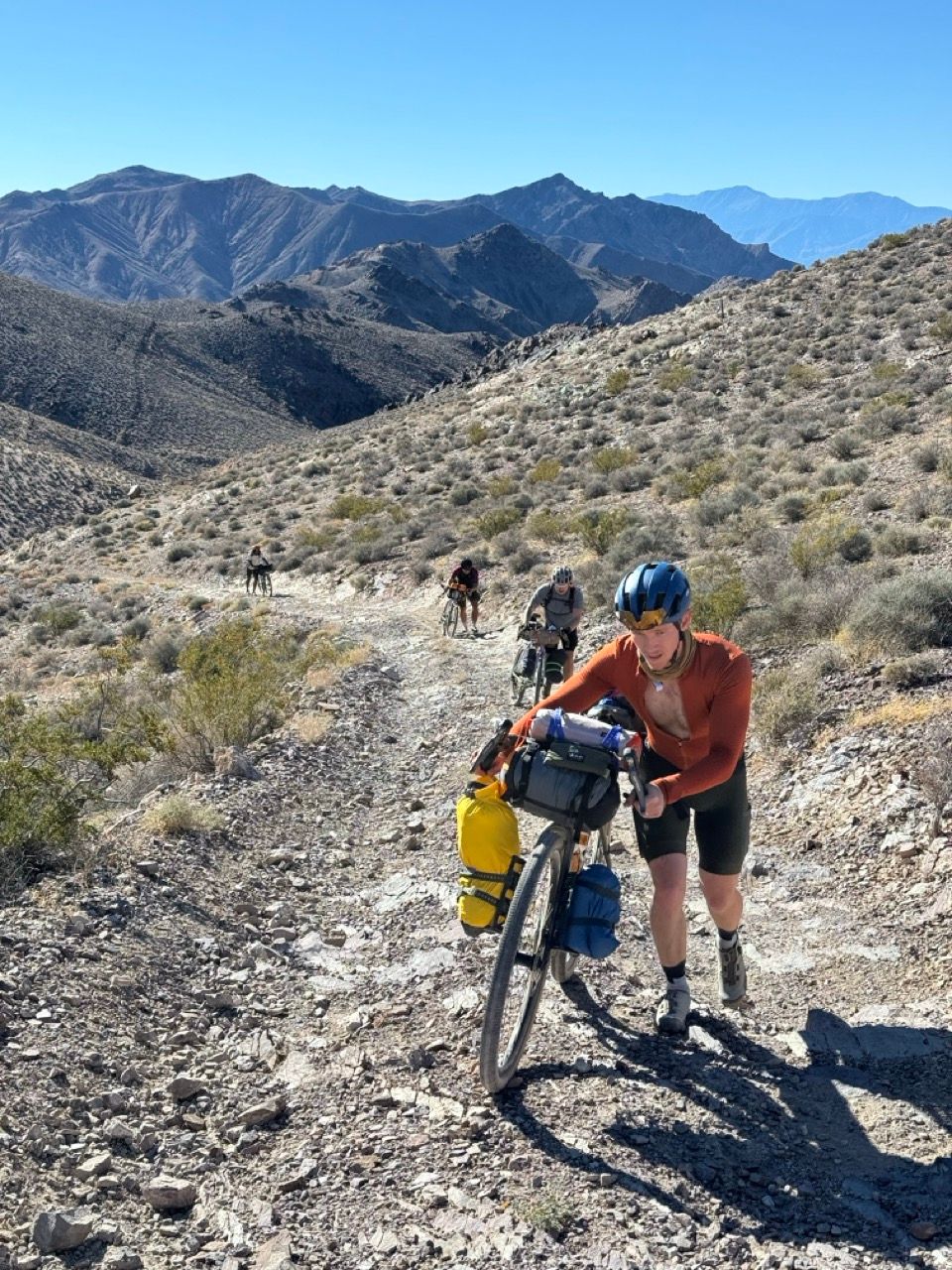
Just before reaching the top, we were passed by three trucks—the only vehicles we’d end up encountering on dirt the entire trip.
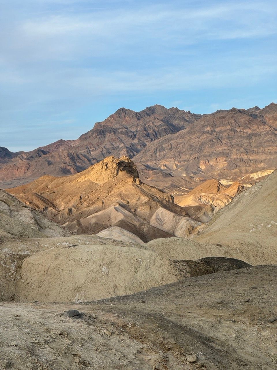
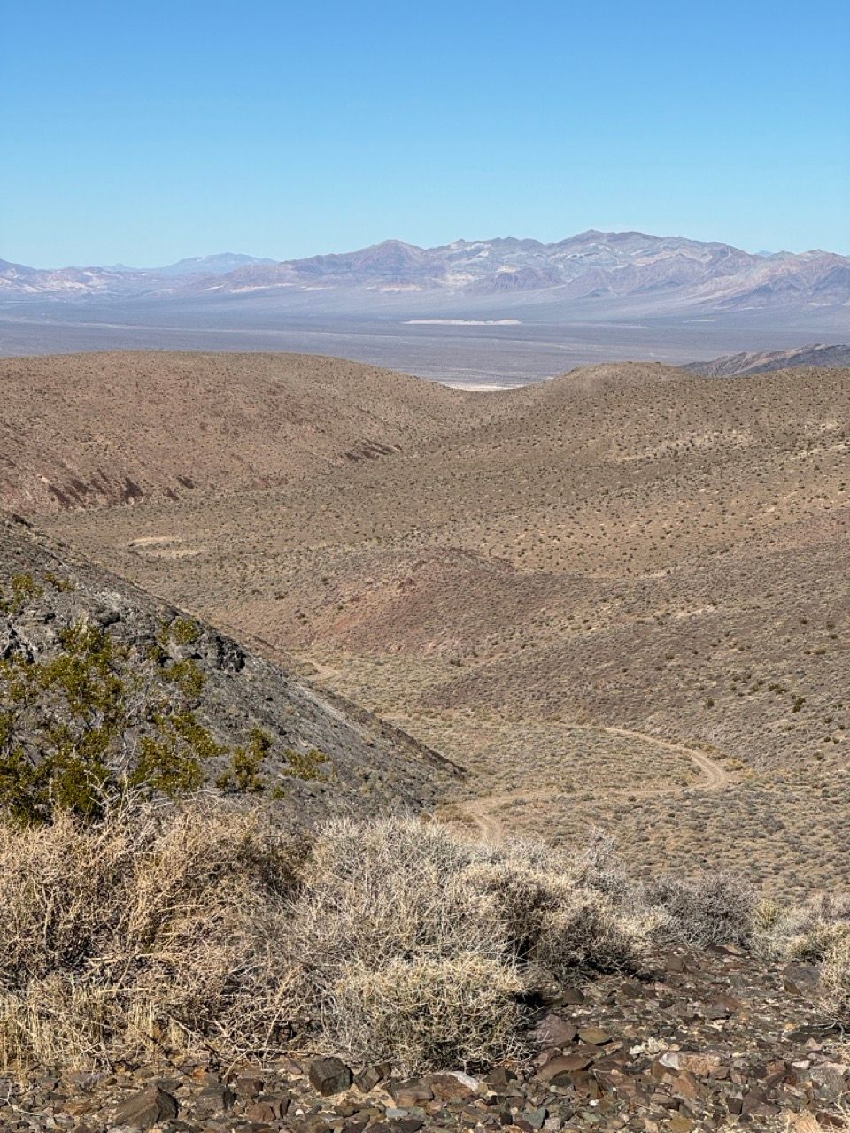
We then paused at the top to take advantage of cell service, take pics of the 360º vista, and prepare for the long descent.
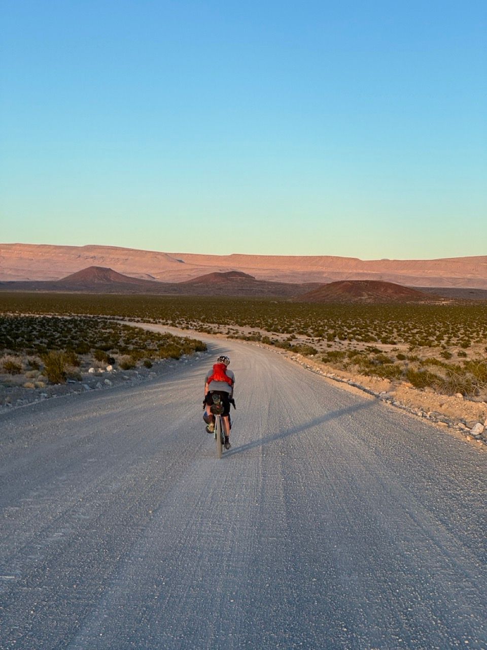
The descent down the other side was fun, rocky, fast, and only mildly sketch (for me, probably more so for the gravel bikes). Nothing too steep, and it went on for miles and miles.
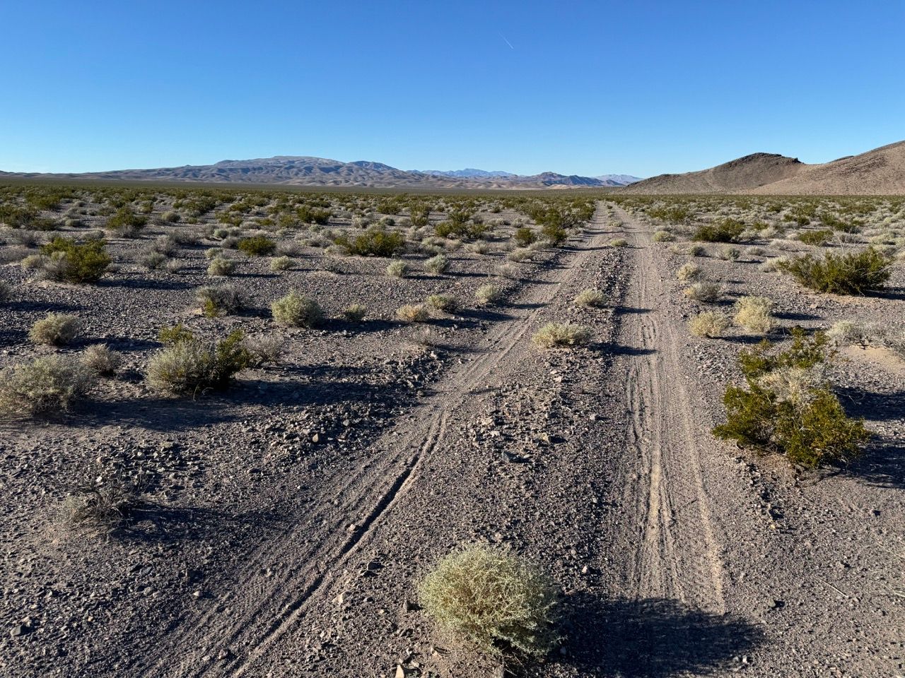
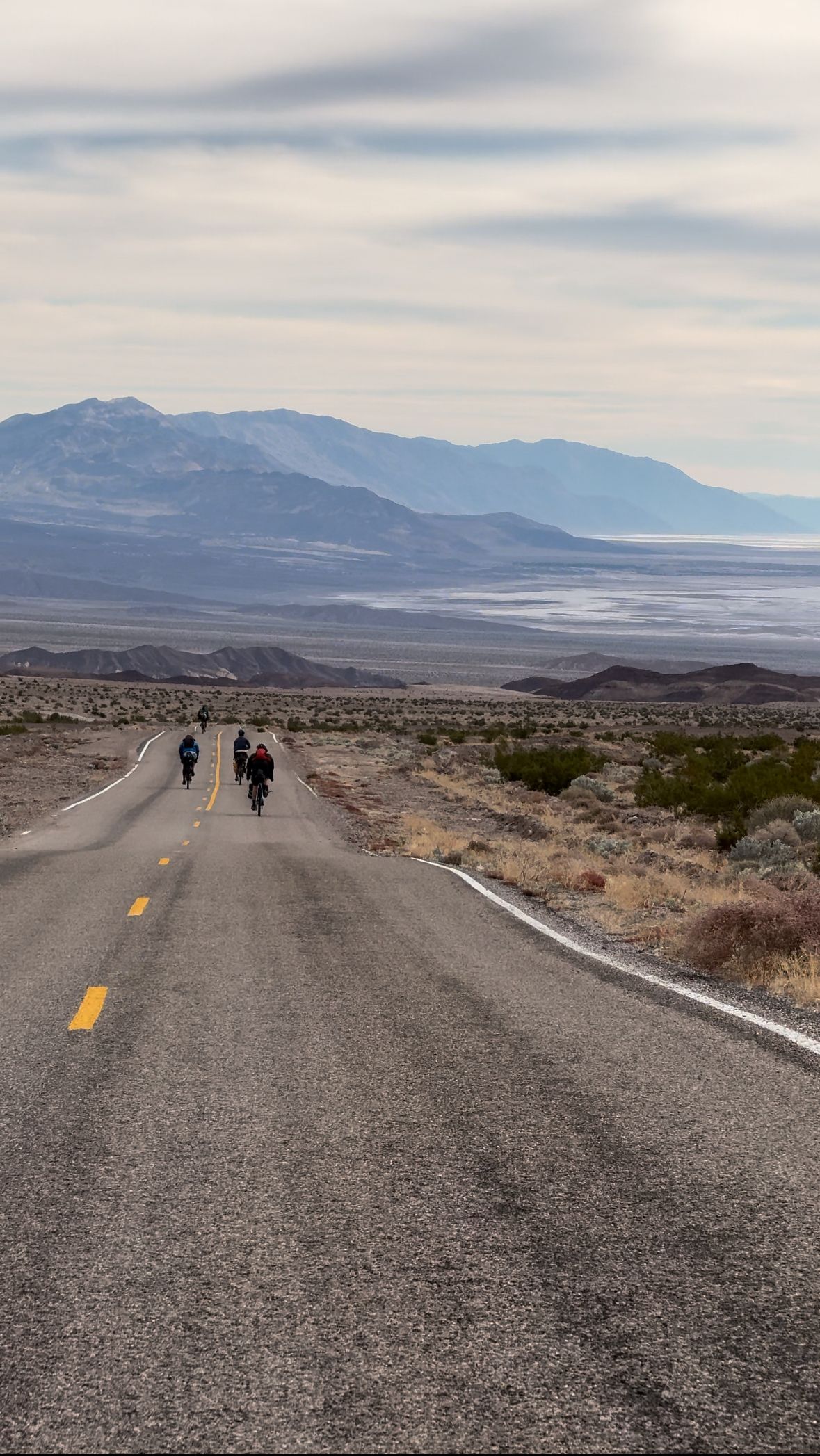
As we exited the mountain range into the huge desert flat, we missed the turn the route called out as missable – we were still descending at speed and it’s indeed not obvious at all. It soon after transitioned to fast smooth riding, as described, and we were able to soak up the incredible vastness and views all around us. It was unlike anything I’ve ever ridden, and truly fantastic.
The fast speeds and smooth sometimes-sandy riding raised our spirits. It was only somewhat offset by the optical illusion of the highway in the distance barely looking closer as we sped towards it, but it just made us want to go faster.
Upon reaching the highway at 4pm, we got a few encouraging honks from passing cars as we regrouped near the road. Despite earlier desires to give up and ride to Beatty once we reached the highway, we decided to press on—despite murmurings about “sunk cost fallacy,” and even though we’d likely have to do some night riding as we approached camp. The semi-trucks speeding by also nudged us to skip the highway.
Water was running low, and those of us with remaining water supplies distributed what we had.
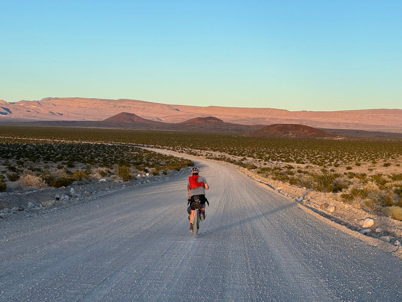
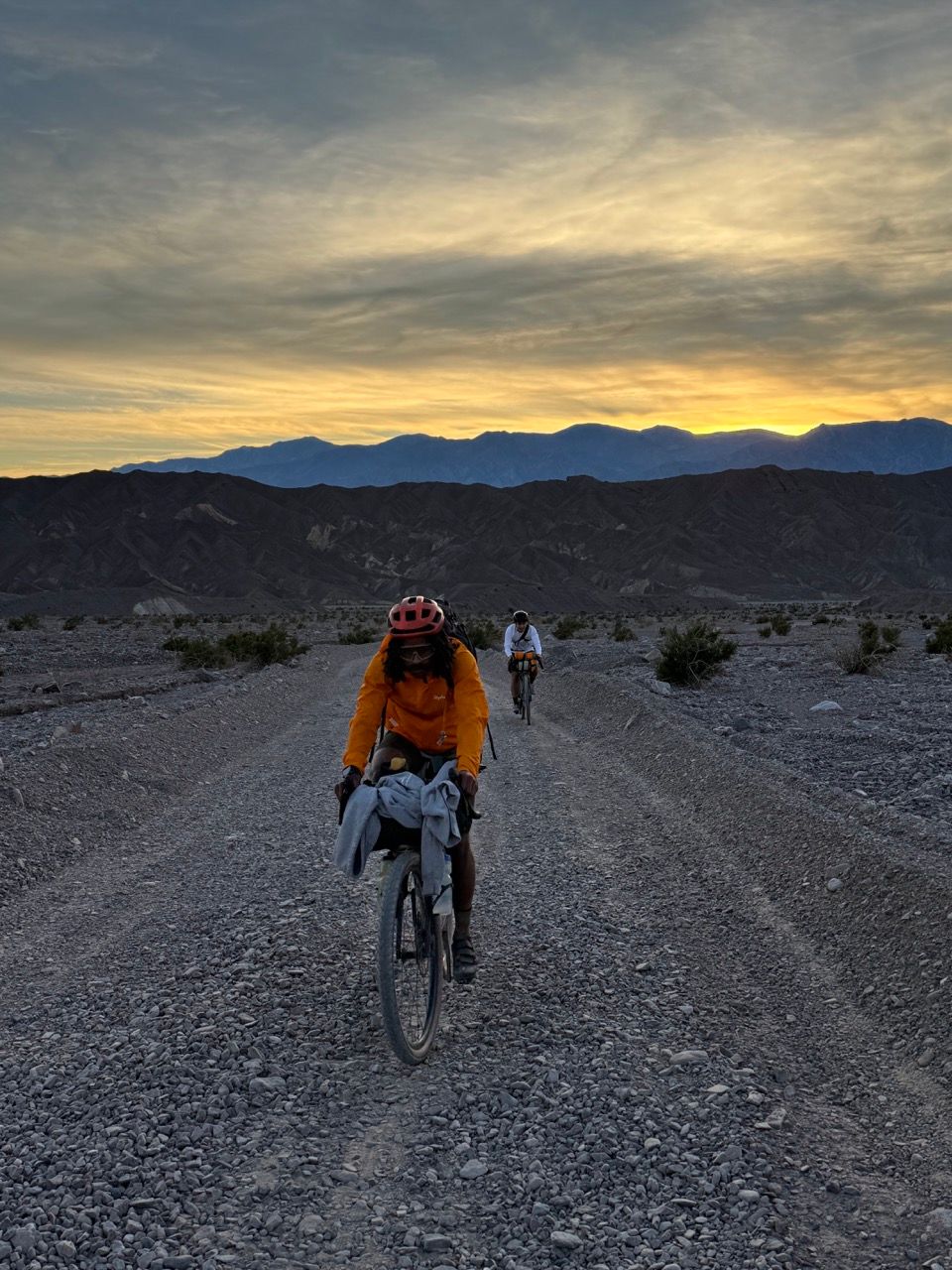
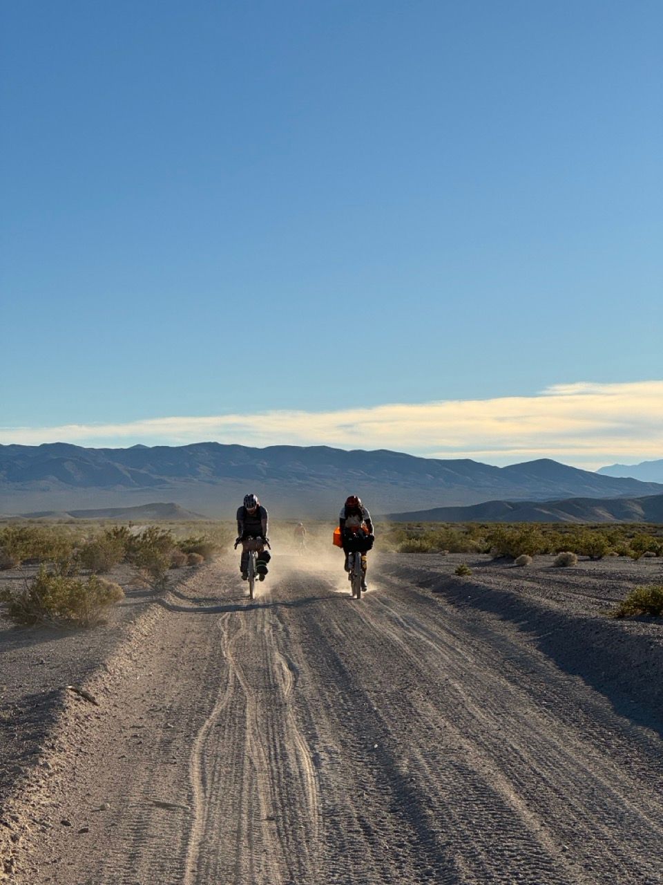
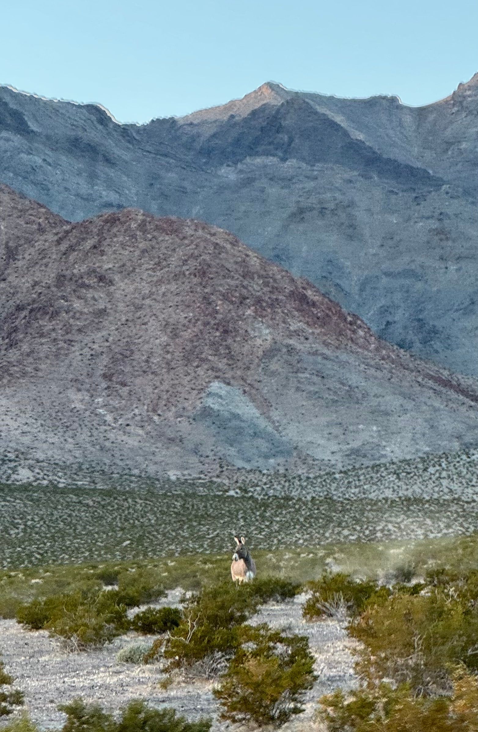
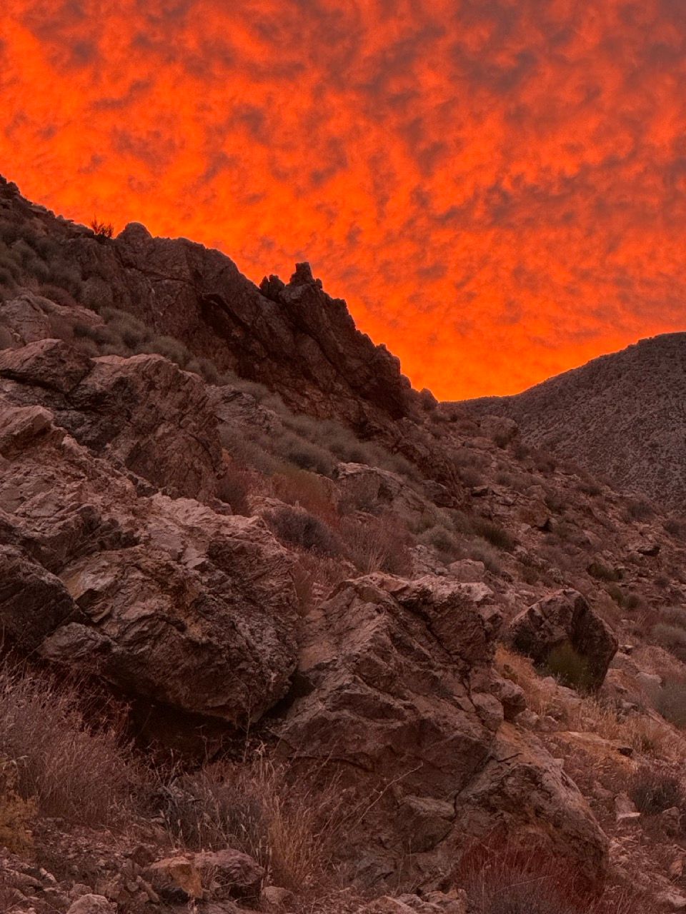
Our decision to press on was immediately validated by the smooth and wide gravel road (a “gravel highway,” if you will) waiting for us on the other side of the real highway. Golden hour light illuminated our dust clouds as we did a short climb and descent into another vast landscape, all of us starting to hoot and holler with delight as the sky glowed orange and pink, wild donkeys ran alongside us, and the miles came easy.
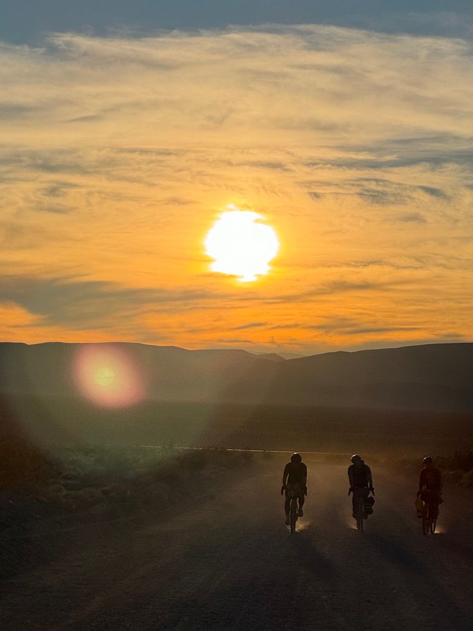
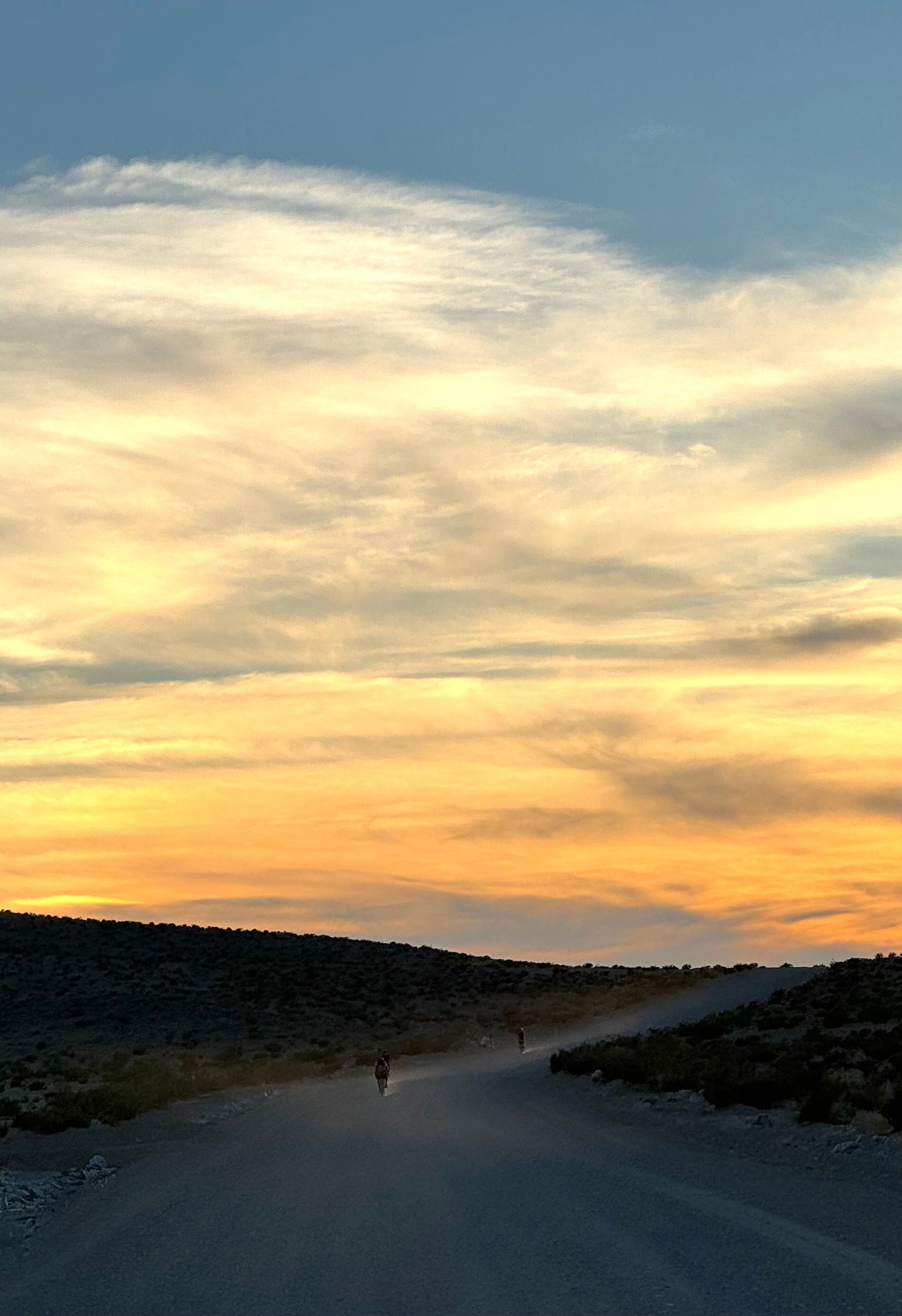
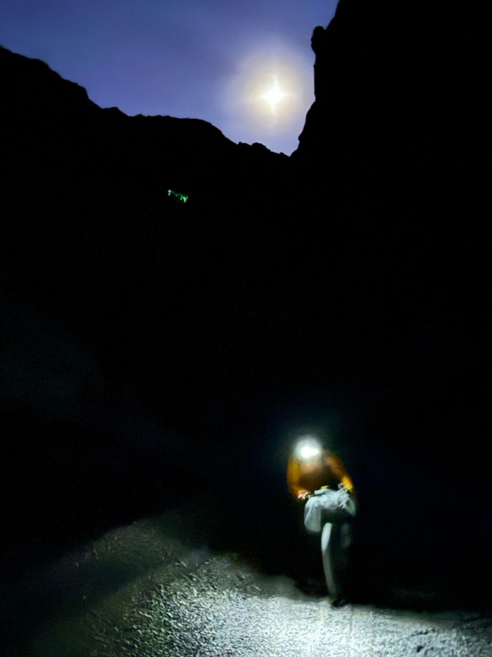
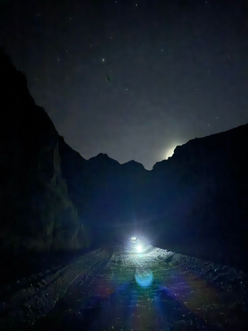
Right as dusk turned to dark, the road narrowed to a rockier and more technical doubletrack. It was still nearly all rideable and never particularly steep. I took the lead to scout the way ahead, with all of us calling out dips, sand, drops, and rocks. It was cold but not freezing.
There was some navigation confusion as we turned left into the mouth of Tarantula Canyon, with us ultimately deciding based on the Google Maps satellite view that all roads lead to the same place: into the canyon’s wash.
Once in the wash, the track quickly turned into deeper gravel. It was still relatively easy to follow—even in the dark—and was rideable with moderate effort on the MTB, and lots of effort on the gravel bikes (most of whom decided it wasn’t worth the ROI at this point in the day, exhausted and cold, so started walking).

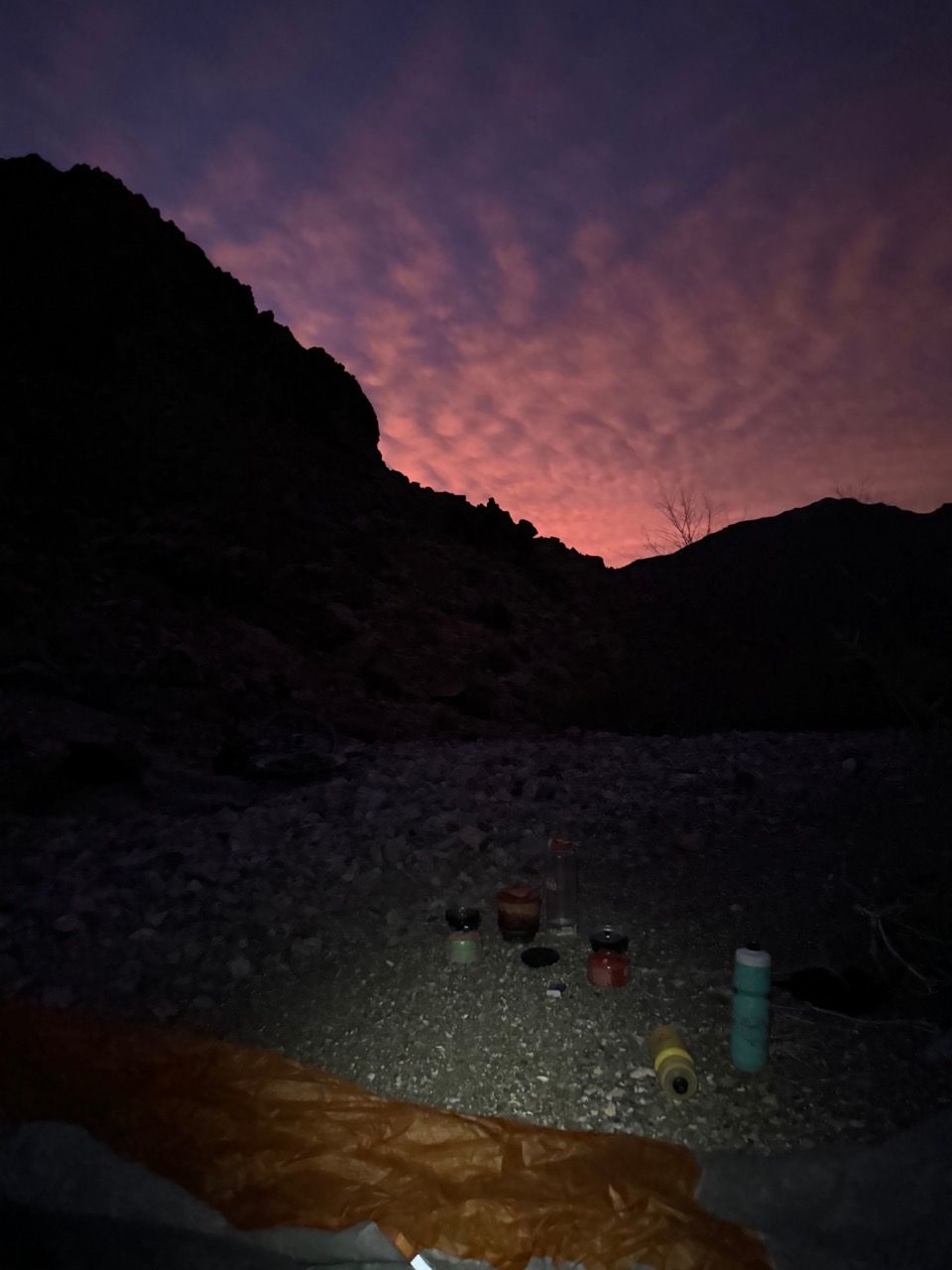
We finally reached the suggested camping spot around 6:30pm. Morale, energy, and temps were at all-time lows for the trip.
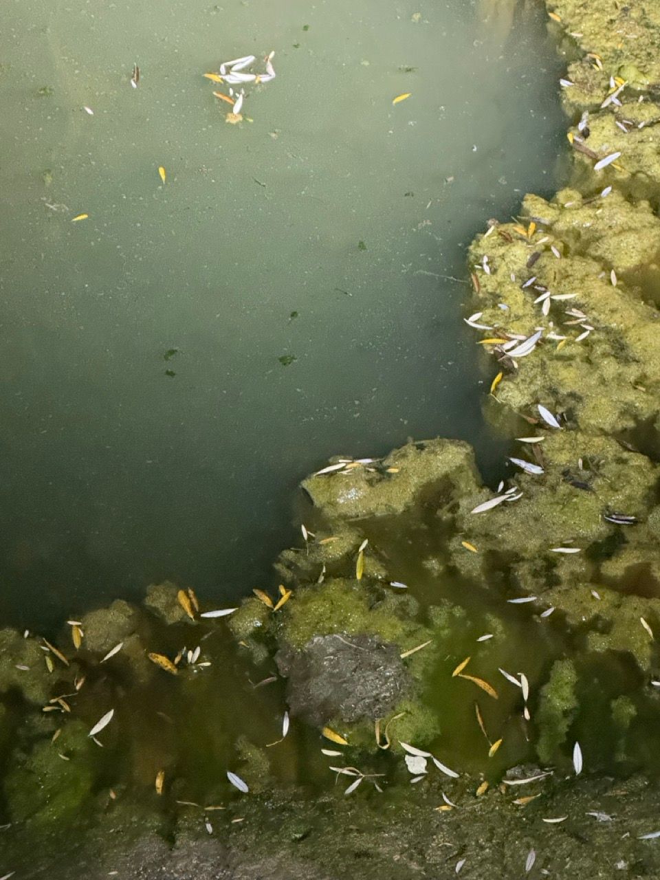
To make matters worse, as we scouted out Specie Spring, we realized it was a nasty-looking pool of stagnant, algae-filled water with lots of donkey tracks along the edge (vs. the clear oasis we had envisioned).
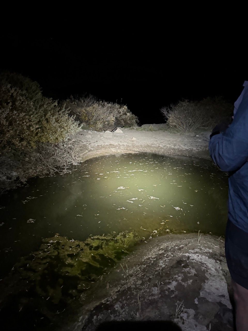
We contemplated continuing on the 8 miles to Beatty for a moment, but then decided to put our water filters to the test. Thankfully, the filtered donkey water was delicious and we all survived to tell the tale, stronger now from the countless pathogens consumed and the spirits of the donkeys there before us.
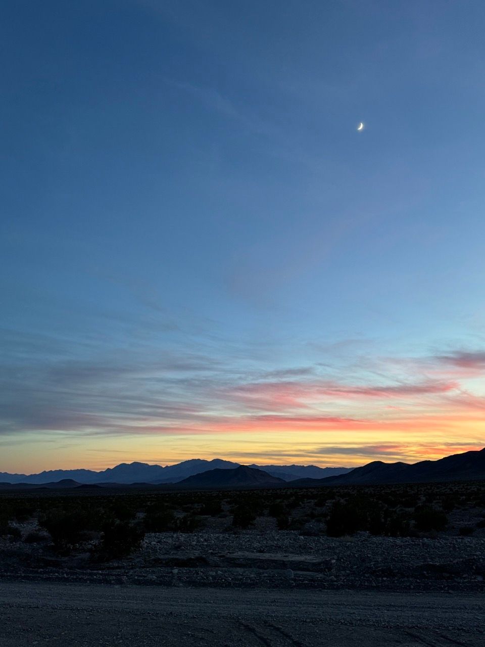
Night two was much colder than night one (likely from being at 4.5k ft elev vs. 2.5k ft), with the suggested camping spot quite exposed to the wind, and sleep didn’t come easily for anyone. We were able to get by with all our layers on, but morale remained pretty low—only mildly boosted by another night of fantastic stargazing.
Day 3 - Tarantula Canyon to Furnace Creek via Beatty & Daylight Pass
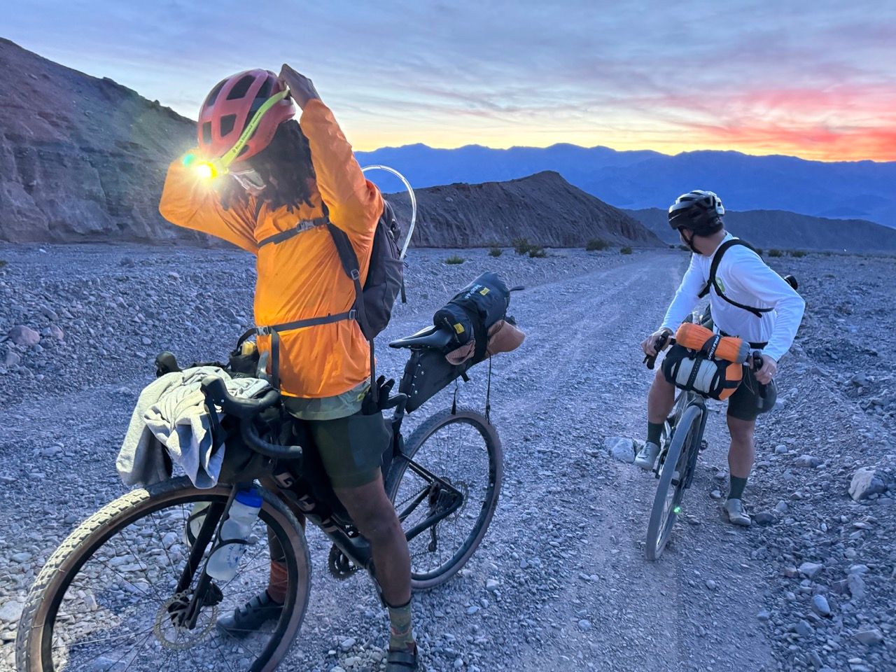
6am alarms gave us an excuse to stop attempting to sleep and start packing up. Once again, we didn’t get going until nearly 8am. The sunrise was excellent, though.
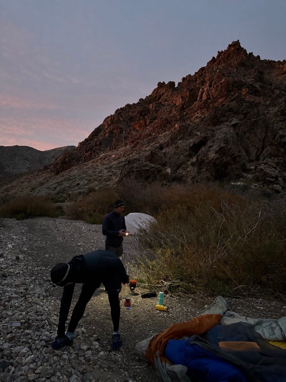
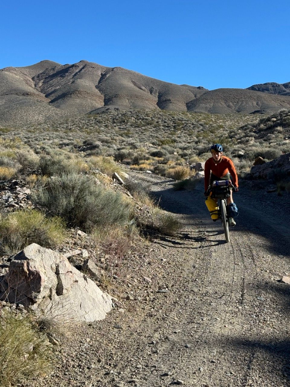
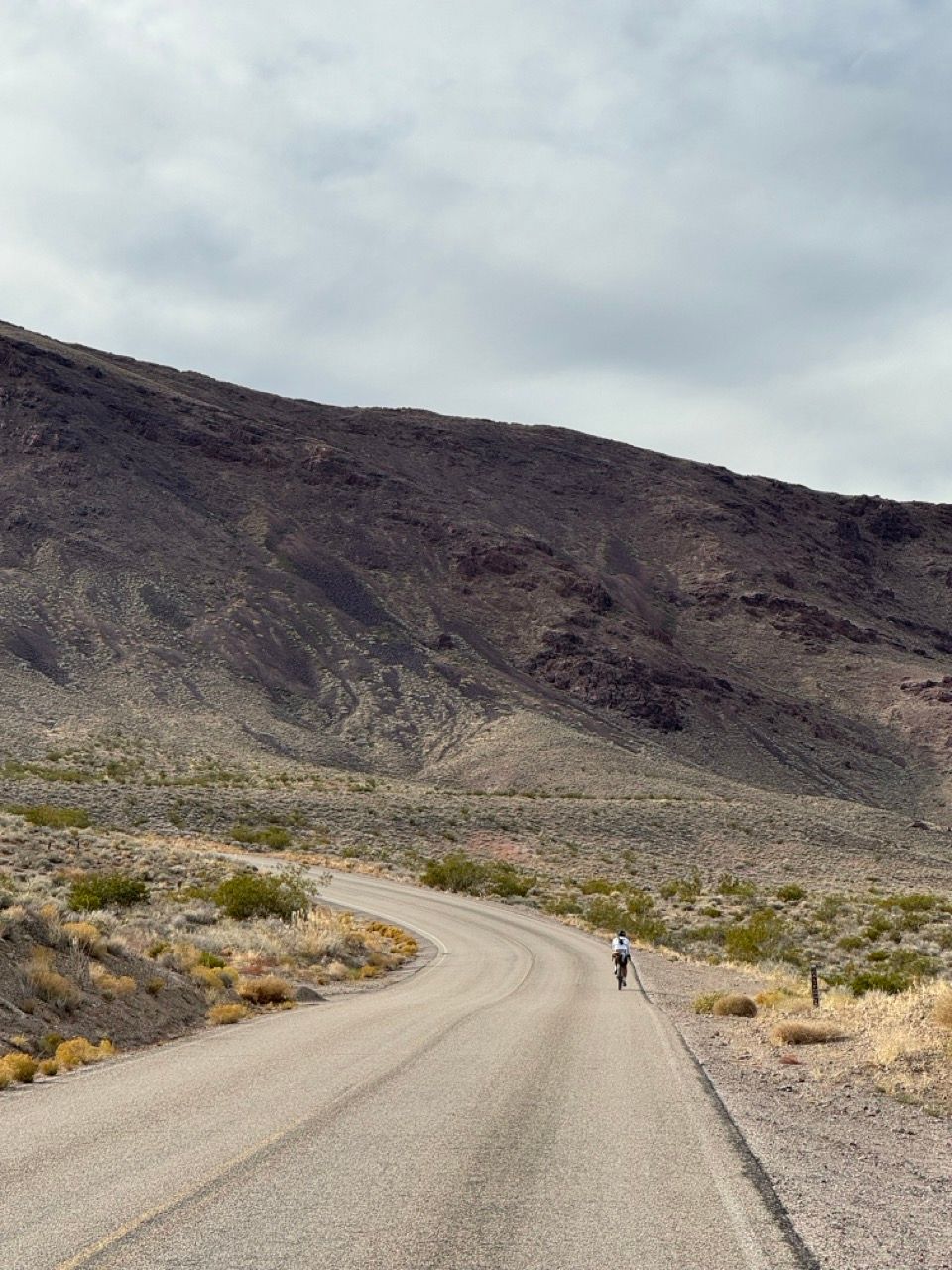
It was a cold morning, but we quickly warmed up with the technically-rideable-but-not-worth-the-effort-so-let’s-just-walk climb out of the canyon to start the morning. Dreams of the promised “buttery smooth” descent into Beatty motivated us upwards.

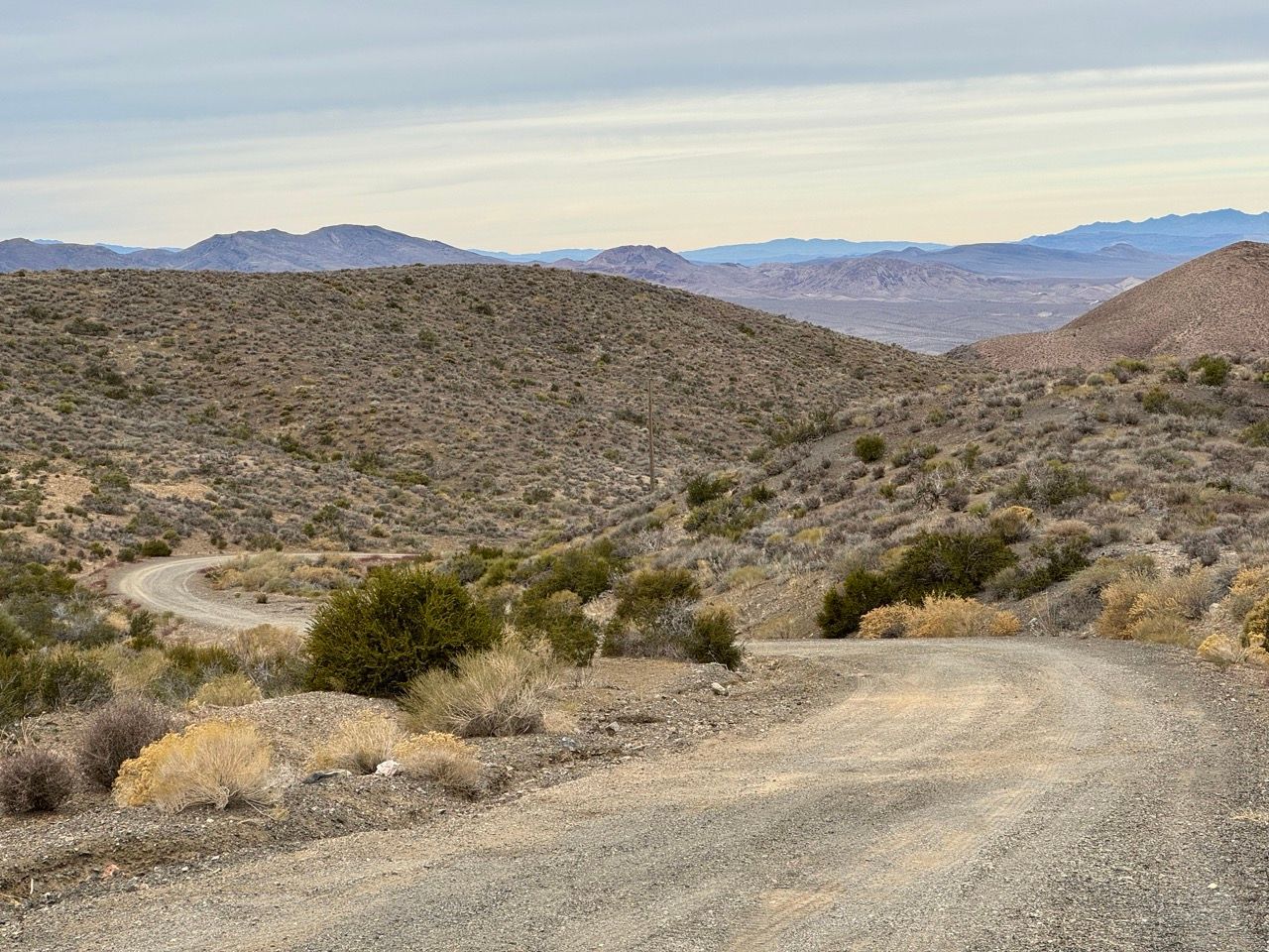
Crossing over the pass, a short rocky descent led us to the promised road: magically smooth and wide, with just enough gravel and steepness to keep you on your toes as you rip around corners. We passed one semi heading up on our way down, so keep your wits about you.
Unfortunately, our bliss was interrupted by what I believe is an error on the original route: a temporary diversion off the smooth & fast Degestrom Rd into a deep gravel doubletrack in the wash running parallel to the road. It slows you down considerably and is not worth it. I’ve corrected this in my suggested routes.
Entering Beatty, we scouted out a brunch spot, settling on the cozy Gema’s Cafe for some skillet scrambles, burritos, and waffles.
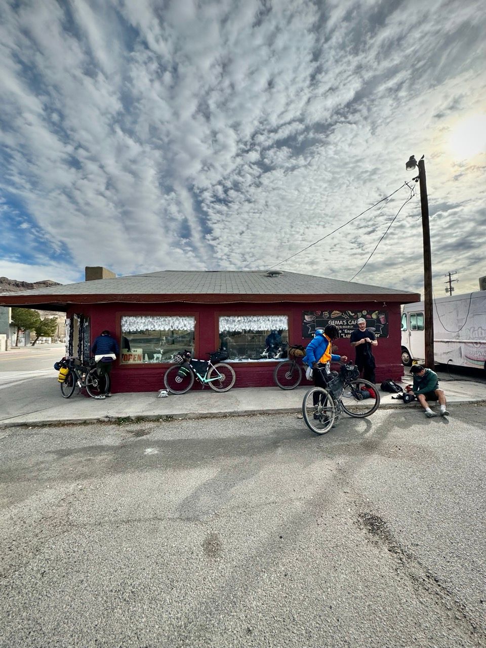
After filling up, warming up, and repairing a pack, we debated returning straight to the car, but ultimately decided to press on to the ghost town.
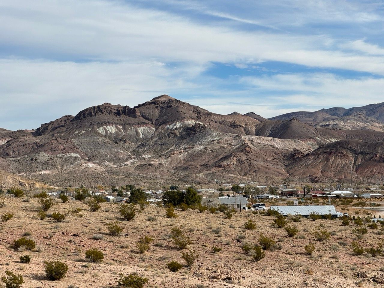
Once again, we were rewarded by sticking to the route: a scenic two-track led us above Beatty, through man-made canyons meant for a former railroad track, and into the foothills. The sun and climbing made us hot again, but we arrived at the ghost town soon enough.
The ride to the ghost town was worth it, but we found the town itself not particularly noteworthy. But no matter—we fueled up, inflated our tires to pavement PSI, and descended down to the main road. The group wasn’t up for more mountain exploration, so we decided to high-tail it back to the cars instead of being guinea pigs for Chloride Cliffs Rd (sorry future riders!).
Daylight Pass Road doesn’t have a shoulder, but the pavement is smooth and traffic is sparse. We formed a pace line and charged towards the upwards sloping hill in the distance, making great time. The gradual, gorgeous, and nearly car-free climb into the mountains had me wondering if I actually did like road riding after all.
Upon reaching the pass, it was hard to fathom the 13 mile descent that lay ahead. We put on jackets and set off. What followed was the greatest road descent of my life.
Absolutely flying through the mountains, each bend revealing new scenery, without ever seeing a car. My GoPro ran out of battery since I couldn’t stop recording.
We reached the Beatty Rd junction and stopped to high-five and take photos of the Death Valley vista spread out in front of us.
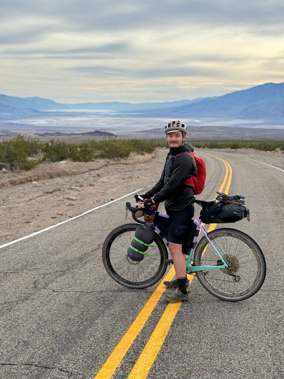
Somehow, the rest of the descent into the valley was even more scenic—the valley slowly became all-encompassing in our vision as we zipped down the road.
Since no cars are allowed during the current closure, you’re free to ride in the middle of the road, keeping your eyes on your surroundings.
After the descent, we pace-lined back to the car with some small rolling hills, making it back by 3:30pm. We were all elated to have finished—and with such an amazingly scenic ending—and proud of our decisions to push on when times were tough.
Water
It's the desert, so water is rather important. Your first water resupply is on night 2 at Specie Spring (it MUST be filtered—trust me, it looks nasty!).
Assuming there's cooler temps when you're riding, I'd pack at least 6L of water at departure. Obviously adjust this to your body's needs, and bring more if temps will be higher than the 50s in the mountains. Ensure you also take in plenty of sodium and sugar to help absorb the water you drink—if you're peeing frequently, that means not enough salt.
You can cache water if needed where you cross the highway (marked on the route), but I'd only do this if it were going to be hot when riding and I couldn't bring it all with me. Water weight (and bike weight in general) don't matter that much when bikepacking.
Food
The first food resupply is on the late morning of day 3, so you'll want 2x breakfasts, 2x bundles of day snacks, and 2x dinners.
Since night 1 has no water source, there's no advantage to bringing a dehydrated meal. You can bring real food, like a burrito, unless you want something hot.
Night 2 has a water source, so you can bring a dehydrated meal for this if you're bringing a stove, pot, and fuel.
Difficulty
Based on the comments on the original bikepacking.com route, the difficulty of this route is controversial. I do indeed disagree a bit with the rating in the bikepacking.com difficulty description, especially since it specifies gravel bikes:
“The sometimes loosely packed gravel in the canyons and sometimes rocky doubletrack through the Funeral Mountains make the riding technically challenging (5/10) on a gravel bike, though easier on a mountain bike with suspension and wider tires.”
I found the 5/10 rating appropriate for a full-suspension mountain bike. The difficulty on a gravel bike is significantly higher: at least 7-8/10, with some in our group saying it was the hardest gravel ride of their lives.
They aren’t alone in that sentiment: looking back at the Strava activities from the route creator's original trip (the only other Strava riders on some of the route’s segments), one rider described it as “the gnarliest gravel I’ve ever done on my gravel bike.” Another even called day 2 “the longest 30 mile ride I’ve ever done” — which is actually shorter than the implied day 2 on the official route (42 miles from Echo Canyon to Tarantula Canyon, what we did), since their group ended up camping by the highway crossing on night 2 (it seems like they were too tired to continue). They did Tarantula Canyon on day 3 instead, and only to Beatty, before taking a car back to Furnace Creek (perhaps due to inclement weather).
I’m still very appreciative of Emily, the route creator, showing us all the possibilities in the area. I’d just caution future bikepackers that doing the whole dirt route as mapped in 3 days is likely only for the most advanced riders. Doing the Daylight Pass alternate in 3 days is appropriate for highly-motivated intermediates.
And, to be fair, the route is described as 3-4 days—doing it in 4 days would take the difficulty down a notch across the board.
As always, take any given route as a starting place, and then adapt it based on your skill, energy, and bike. Just know the starting place for this ride is probably not 5/10 on a gravel bike, unless you’re a very advanced rider.
How to get there
There's unfortunately limited public transit options, likely just from Las Vegas (unsure if the buses accept bikes).
If you're flying in, Las Vegas would be the closest and cheapest option.
If you're driving, like from the Bay Area or LA, I suggest getting to a nearby town the night before (like Ridgecrest, CA), staying in a cheap motel (we did the Baymont), and then departing first thing in the morning (we did not do this). You could also get a campsite in Death Valley for the night before.
If you're an EV driver like me, you'll want to take advantage of the free L2 charging (up to 10kW) in Furnace Creek. Bring a sign saying it's ok to unplug you if you plug in and then leave for the ride, as the chargers are a hot commodity on weekends.
Final thoughts
Overall, this ride makes you feel small in the best possible way. It’s desolate, gorgeous, challenging, and at times unlike anything I’ve ever ridden.
Huge thank you to Emily Cheng & bikepacking.com for mapping out the original route and writing it up—this one was truly epic! Will remember it for the rest of my life.
Drop a comment below if you have a question on this route. Otherwise, enjoy, be safe, and have fun!

